Cycling in Toolooa
Discover a map of 9 cycling routes and bike trails near Toolooa, created by our community.
Region portrait
Get to know Toolooa
Find the right bike route for you through Toolooa, where we've got 9 cycle routes to explore.
73 km
Tracked distance
9
Cycle routes
1,148
Population
Community
Most active users in Toolooa
From our community
The best bike routes in and around Toolooa
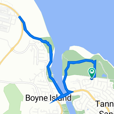
Wild Cattle Creek Road 21, Tannum Sands to Wild Cattle Creek Road 21, Tannum Sands
Cycling route in Toolooa, Queensland, Australia
- 8.3 km
- Distance
- 30 m
- Ascent
- 82 m
- Descent
Wild Cattle Creek Road 21, Tannum Sands to Wild Cattle Creek Road 21, Tannum Sands
Cycling route in Toolooa, Queensland, Australia
- 8.7 km
- Distance
- 37 m
- Ascent
- 83 m
- Descent
Old Bruce Highway, Burua to 2041 Dawson Highway, Calliope
Cycling route in Toolooa, Queensland, Australia
- 9.1 km
- Distance
- 101 m
- Ascent
- 70 m
- Descent
Discover more routes
 Recovered Route
- Distance
- 9.5 km
- Ascent
- 341 m
- Descent
- 342 m
- Location
- Toolooa, Queensland, Australia
 3 Geoffrey Thomas Drive, Tannum Sands to 3 Geoffrey Thomas Drive, Tannum Sands
- Distance
- 10.9 km
- Ascent
- 114 m
- Descent
- 127 m
- Location
- Toolooa, Queensland, Australia
 Route to 11 Bloomfield Street, Calliope
- Distance
- 9.3 km
- Ascent
- 96 m
- Descent
- 73 m
- Location
- Toolooa, Queensland, Australia
 Route to 1–19 Old Bruce Highway, Burua
- Distance
- 2.2 km
- Ascent
- 39 m
- Descent
- 10 m
- Location
- Toolooa, Queensland, Australia
 4A Wyndham Ave, Boyne Island to 34 Centenary Dr, Boyne Island
- Distance
- 1.3 km
- Ascent
- 26 m
- Descent
- 6 m
- Location
- Toolooa, Queensland, Australia


