
Cycling in Stawell
Discover a map of 18 cycling routes and bike trails near Stawell, created by our community.
Region portrait
Get to know Stawell
Find the right bike route for you through Stawell, where we've got 18 cycle routes to explore.
533 km
Tracked distance
18
Cycle routes
5,737
Population
Community
Most active users in Stawell


From our community
The best bike routes in and around Stawell


Grampians Rail Trail - east to west
Cycling route in Stawell, Victoria, Australia
- 10.1 km
- Distance
- 16 m
- Ascent
- 32 m
- Descent
Garmin Edge1000®
Discover more routes
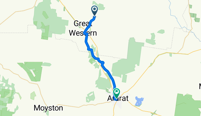
 Grampians Road, Stawell to Main Street 14, Stawell
- Distance
- 3 km
- Ascent
- 35 m
- Descent
- 15 m
- Location
- Stawell, Victoria, Australia

Edge1000®
Grampians Rail Trail - west to east- Distance
- 10.2 km
- Ascent
- 41 m
- Descent
- 11 m
- Location
- Stawell, Victoria, Australia
 boroka
- Distance
- 29.7 km
- Ascent
- 936 m
- Descent
- 936 m
- Location
- Stawell, Victoria, Australia
 reeds
reeds- Distance
- 23.7 km
- Ascent
- 871 m
- Descent
- 871 m
- Location
- Stawell, Victoria, Australia
 2011-01-28 Australia Bike Trip Day 44 (Ledcourt-Halls Gap)
- Distance
- 24.5 km
- Ascent
- 94 m
- Descent
- 102 m
- Location
- Stawell, Victoria, Australia
 Western Highway, Stawell to 632–704 Heatherlie Track, Ledcourt
- Distance
- 29.1 km
- Ascent
- 150 m
- Descent
- 184 m
- Location
- Stawell, Victoria, Australia
 28 Nov 2015, 3:30 PM
- Distance
- 22.3 km
- Ascent
- 971 m
- Descent
- 1,624 m
- Location
- Stawell, Victoria, Australia
 60 Oliver Rd, Concongella to 90 Patrick St, Stawell
- Distance
- 3.3 km
- Ascent
- 51 m
- Descent
- 30 m
- Location
- Stawell, Victoria, Australia