
Cycling in Queenstown
Discover a map of 11 cycling routes and bike trails near Queenstown, created by our community.
Region portrait
Get to know Queenstown
Find the right bike route for you through Queenstown, where we've got 11 cycle routes to explore.
1,506 km
Tracked distance
11
Cycle routes
2,352
Population
Community
Most active users in Queenstown


From our community
The best bike routes in and around Queenstown

Tarkine Wilderness to Hobart
Cycling route in Queenstown, Tasmania, Australia
- 1,021 km
- Distance
- 2,590 m
- Ascent
- 2,670 m
- Descent

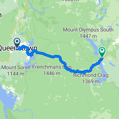
Queenstown to Roseberry
Cycling route in Queenstown, Tasmania, Australia
- 54.9 km
- Distance
- 638 m
- Ascent
- 626 m
- Descent

Queenstown to Tullah via the A10
Cycling route in Queenstown, Tasmania, Australia
- 69.8 km
- Distance
- 846 m
- Ascent
- 821 m
- Descent

Queenstown to Rosebery
Cycling route in Queenstown, Tasmania, Australia
- 54.1 km
- Distance
- 695 m
- Ascent
- 689 m
- Descent
Discover more routes
 Franklin River
- Distance
- 1.2 km
- Ascent
- 14 m
- Descent
- 15 m
- Location
- Queenstown, Tasmania, Australia
 Queenstown
- Distance
- 22.2 km
- Ascent
- 422 m
- Descent
- 517 m
- Location
- Queenstown, Tasmania, Australia
 Itinéraire vers Lyell Highway, Derwent Bridge
- Distance
- 65.8 km
- Ascent
- 1,703 m
- Descent
- 1,217 m
- Location
- Queenstown, Tasmania, Australia
 De 91-93 Batchelor Street, Queenstown à 22050 Lyell Highway, West Coast
- Distance
- 20.9 km
- Ascent
- 424 m
- Descent
- 369 m
- Location
- Queenstown, Tasmania, Australia
 De 2–4-6 Sticht Street, Queenstown à 15480–15560 Lyell Highway, Derwent Bridge
- Distance
- 86.5 km
- Ascent
- 2,134 m
- Descent
- 1,545 m
- Location
- Queenstown, Tasmania, Australia
 De Lyell Highway, Strahan à 2–4-6 Sticht Street, Queenstown
- Distance
- 23.6 km
- Ascent
- 411 m
- Descent
- 535 m
- Location
- Queenstown, Tasmania, Australia
 This is gonna hurt
- Distance
- 86.2 km
- Ascent
- 2,109 m
- Descent
- 1,518 m
- Location
- Queenstown, Tasmania, Australia