
Cycling in Santana
Discover a map of 24 cycling routes and bike trails near Santana, created by our community.
Region portrait
Get to know Santana
Find the right bike route for you through Santana, where we've got 24 cycle routes to explore.
716 km
Tracked distance
24
Cycle routes
8,804
Population
Community
Most active users in Santana


From our community
The best bike routes in and around Santana


2016.07.18 Madeira - pico Ruivo - Funchal
Cycling route in Santana, Madeira, Portugal
- 62.8 km
- Distance
- 1,371 m
- Ascent
- 2,880 m
- Descent

Achada do Teixeira onto Pico Ruivo&Pico Arieiro
Cycling route in Santana, Madeira, Portugal
This unforgettable walk connects the highest peaks of the island: Pico Ruivo&Pico Arieiro, it's a walk onto the roof of Madeira.
- 10.2 km
- Distance
- 820 m
- Ascent
- 590 m
- Descent
Discover more routes
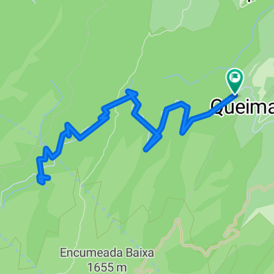
 De ER108 22 a ER108 22
- Distance
- 15 km
- Ascent
- 63 m
- Descent
- 120 m
- Location
- Santana, Madeira, Portugal
 Levada Balcoes
- Distance
- 1.6 km
- Ascent
- 352 m
- Descent
- 177 m
- Location
- Santana, Madeira, Portugal
 Madera
- Distance
- 24.2 km
- Ascent
- 1,421 m
- Descent
- 1,474 m
- Location
- Santana, Madeira, Portugal
 Levada do Caldeirão Verde 9 nach Rua Comandante Camache de Freitas 2, Santana
- Distance
- 8.8 km
- Ascent
- 291 m
- Descent
- 514 m
- Location
- Santana, Madeira, Portugal
 20170625_175946.gpx
- Distance
- 0.1 km
- Ascent
- 0 m
- Descent
- 8 m
- Location
- Santana, Madeira, Portugal
 20170625_112745.gpx
- Distance
- 15 km
- Ascent
- 1,483 m
- Descent
- 1,483 m
- Location
- Santana, Madeira, Portugal
 Ostroute Madeira ab Porto da Cruz
- Distance
- 113.8 km
- Ascent
- 3,203 m
- Descent
- 2,592 m
- Location
- Santana, Madeira, Portugal
 Autotour Nordwesten
- Distance
- 203.4 km
- Ascent
- 6,108 m
- Descent
- 6,109 m
- Location
- Santana, Madeira, Portugal