
Cycling in Killamarsh
Discover a map of 41 cycling routes and bike trails near Killamarsh, created by our community.
Region portrait
Get to know Killamarsh
Find the right bike route for you through Killamarsh, where we've got 41 cycle routes to explore.
834 km
Tracked distance
41
Cycle routes
9,625
Population
Community
Most active users in Killamarsh


From our community
The best bike routes in and around Killamarsh

Graves Park
Cycling route in Killamarsh, England, United Kingdom
- 36.5 km
- Distance
- 361 m
- Ascent
- 408 m
- Descent

Saint Matthews Close 30, Renishaw to Saint Matthews Close 30, Renishaw
Cycling route in Killamarsh, England, United Kingdom
- 30.9 km
- Distance
- 53 m
- Ascent
- 83 m
- Descent

Moderate route in Sheffield
Cycling route in Killamarsh, England, United Kingdom
- 13.9 km
- Distance
- 84 m
- Ascent
- 86 m
- Descent

Saint Matthews Close 75, Renishaw to Saint Matthews Close 30, Renishaw
Cycling route in Killamarsh, England, United Kingdom
- 30.1 km
- Distance
- 41 m
- Ascent
- 71 m
- Descent
Discover more routes
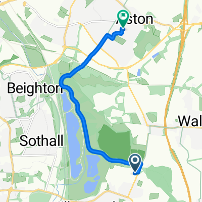
 Station Road 39, Renishaw to Rother Valley Way 50, Holbrook
- Distance
- 3.9 km
- Ascent
- 7 m
- Descent
- 14 m
- Location
- Killamarsh, England, United Kingdom
 Sheepcote Road 61, Killamarsh to Bridge Street 49A, Killamarsh
- Distance
- 11.9 km
- Ascent
- 54 m
- Descent
- 88 m
- Location
- Killamarsh, England, United Kingdom
 8–40 Forge Lane, North East Derbyshire to 59A Lockoford Lane, Chesterfield
- Distance
- 13.3 km
- Ascent
- 75 m
- Descent
- 49 m
- Location
- Killamarsh, England, United Kingdom
 Killamarsh Cycling
- Distance
- 5.7 km
- Ascent
- 89 m
- Descent
- 48 m
- Location
- Killamarsh, England, United Kingdom
 Butler Way 17, Killamarsh to Betony Close 10, Killamarsh
- Distance
- 15.7 km
- Ascent
- 221 m
- Descent
- 193 m
- Location
- Killamarsh, England, United Kingdom
 Station Road 39, Renishaw to Station Road 39, Renishaw
- Distance
- 11.1 km
- Ascent
- 0 m
- Descent
- 10 m
- Location
- Killamarsh, England, United Kingdom
 39 Station Road, Sheffield to 39 Station Road, Sheffield
- Distance
- 31.3 km
- Ascent
- 128 m
- Descent
- 125 m
- Location
- Killamarsh, England, United Kingdom
 Fast ride in Sheffield
- Distance
- 239.8 km
- Ascent
- 1,907 m
- Descent
- 1,910 m
- Location
- Killamarsh, England, United Kingdom