
Cycling in Cotgrave
Discover a map of 48 cycling routes and bike trails near Cotgrave, created by our community.
Region portrait
Get to know Cotgrave
Find the right bike route for you through Cotgrave, where we've got 48 cycle routes to explore. Most people get on their bikes to ride here in the month of April.
4,343 km
Tracked distance
48
Cycle routes
7,537
Population


From our community
The best bike routes in and around Cotgrave


Day 1 - Nottingham to Warwick
Cycling route in Cotgrave, England, United Kingdom
- 101.2 km
- Distance
- 584 m
- Ascent
- 567 m
- Descent

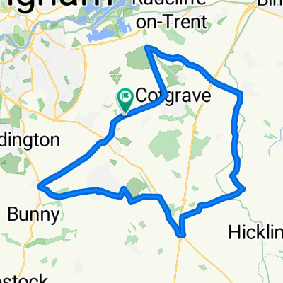
Cotgrave loop - Rach
Cycling route in Cotgrave, England, United Kingdom
- 62.9 km
- Distance
- 517 m
- Ascent
- 515 m
- Descent

cotgrave loop rach stop lclawson
Cycling route in Cotgrave, England, United Kingdom
- 57.1 km
- Distance
- 419 m
- Ascent
- 415 m
- Descent
Discover more routes
 To Work
- Distance
- 8.5 km
- Ascent
- 31 m
- Descent
- 30 m
- Location
- Cotgrave, England, United Kingdom
 Home to Parents
- Distance
- 118.7 km
- Ascent
- 278 m
- Descent
- 223 m
- Location
- Cotgrave, England, United Kingdom
 unicorn
- Distance
- 35.2 km
- Ascent
- 101 m
- Descent
- 102 m
- Location
- Cotgrave, England, United Kingdom
 B's Wolf head
- Distance
- 32.9 km
- Ascent
- 168 m
- Descent
- 170 m
- Location
- Cotgrave, England, United Kingdom
 Day 1
Day 1- Distance
- 183.9 km
- Ascent
- 940 m
- Descent
- 880 m
- Location
- Cotgrave, England, United Kingdom
 Route from 70 Main Street, Nottingham
- Distance
- 508.1 km
- Ascent
- 2,450 m
- Descent
- 2,490 m
- Location
- Cotgrave, England, United Kingdom
 Joseph’s journey
- Distance
- 507.5 km
- Ascent
- 1,310 m
- Descent
- 1,337 m
- Location
- Cotgrave, England, United Kingdom
 2
2- Distance
- 16 km
- Ascent
- 37 m
- Descent
- 37 m
- Location
- Cotgrave, England, United Kingdom