
Cycling in Ehrendingen
Discover a map of 387 cycling routes and bike trails near Ehrendingen, created by our community.
Region portrait
Get to know Ehrendingen
Find the right bike route for you through Ehrendingen, where we've got 387 cycle routes to explore. Most people get on their bikes to ride here in the months of July and August.
13,315 km
Tracked distance
387
Cycle routes
4,519
Population


Handpicked routes
Discover Ehrendingen through these collections
From our community
The best bike routes in and around Ehrendingen


um d Längere
Cycling route in Ehrendingen, Canton of Aargau, Switzerland
- 40.8 km
- Distance
- 303 m
- Ascent
- 312 m
- Descent

BIKE Wislik.-Fisib.-Bachs-Ehrend.
Cycling route in Ehrendingen, Canton of Aargau, Switzerland
reine Fahrtzeit 2 Std.30 Min.
Abwechslungsreiche Rundtour. Nach Oberschneisingen im Wald (beim Weiher) kurzes Stück nur Wanderweg. Etliche Brätlistellen.
Dorfende Bachs liegt auf der linken Strassenseite ein sehr schönes Restaurant "Neuhof".
- 37 km
- Distance
- 553 m
- Ascent
- 566 m
- Descent

21km_Waag_Feldegg_Nurren_Schneisingen_B25
Cycling route in Ehrendingen, Canton of Aargau, Switzerland
21.96km - Offroad Piste..viel Wald
ca 380m Up / 380m Down
- 20.8 km
- Distance
- 361 m
- Ascent
- 360 m
- Descent

Wehntal Flughafen Rhein Wehntal
Cycling route in Ehrendingen, Canton of Aargau, Switzerland
Meistens parallel zu den Autostrassen angelegter Weg speziell für Fahrräder.
- 51 km
- Distance
- 156 m
- Ascent
- 287 m
- Descent
Discover more routes
 20 Freienwil-Glatt-Bachs-Freienwil 60 Km 350 hm
- Distance
- 61.4 km
- Ascent
- 349 m
- Descent
- 349 m
- Location
- Ehrendingen, Canton of Aargau, Switzerland
 Altberg+Lägern
- Distance
- 37.7 km
- Ascent
- 777 m
- Descent
- 779 m
- Location
- Ehrendingen, Canton of Aargau, Switzerland
 Route nach Aarau
- Distance
- 37.3 km
- Ascent
- 248 m
- Descent
- 293 m
- Location
- Ehrendingen, Canton of Aargau, Switzerland
 Bülach Kreisel Eglisau Bachsertal Niederweningen
- Distance
- 50 km
- Ascent
- 316 m
- Descent
- 312 m
- Location
- Ehrendingen, Canton of Aargau, Switzerland
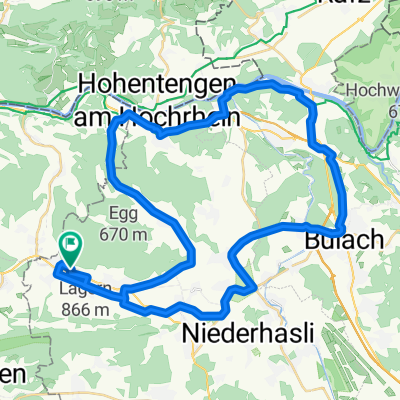
 Um d' Lägere Niederweningen
- Distance
- 39 km
- Ascent
- 284 m
- Descent
- 283 m
- Location
- Ehrendingen, Canton of Aargau, Switzerland
 Route im Schneckentempo in Regensberg
- Distance
- 13.1 km
- Ascent
- 502 m
- Descent
- 357 m
- Location
- Ehrendingen, Canton of Aargau, Switzerland
 Niederweningen Achenberg Koblenz
- Distance
- 44.3 km
- Ascent
- 390 m
- Descent
- 380 m
- Location
- Ehrendingen, Canton of Aargau, Switzerland
 Lengnau Sternnebel
- Distance
- 9.6 km
- Ascent
- 211 m
- Descent
- 78 m
- Location
- Ehrendingen, Canton of Aargau, Switzerland