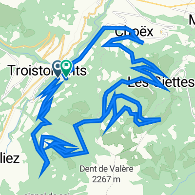


Route de Chenarlier 23, Troistorrents à Chemin de Vai l'Otau 4, Troistorrents
- 41.7 km
- 2,732 m
- 2,718 m
- Troistorrents, Valais, Switzerland

Discover a map of 111 cycling routes and bike trails near Troistorrents, created by our community.
Region portrait
Find the right bike route for you through Troistorrents, where we've got 111 cycle routes to explore. Most people get on their bikes to ride here in the months of July and August.
10,249 km
Tracked distance
111
Cycle routes
3,873
Population
Community
From our community


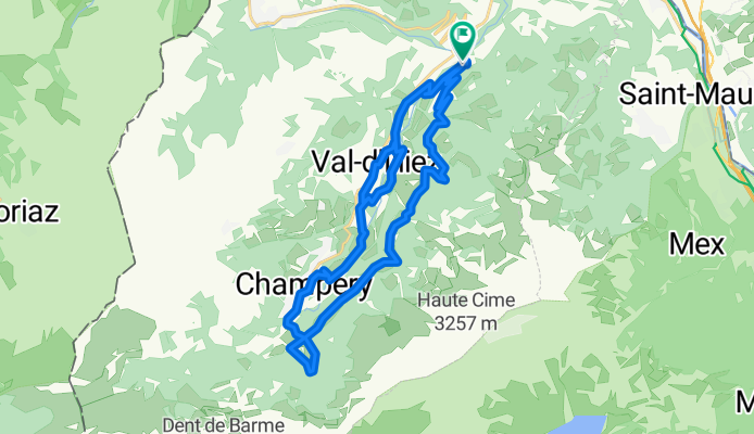
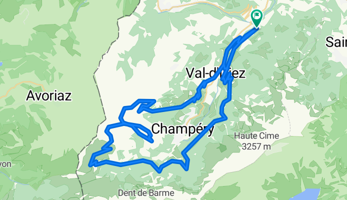
Cycling route in Troistorrents, Valais, Switzerland
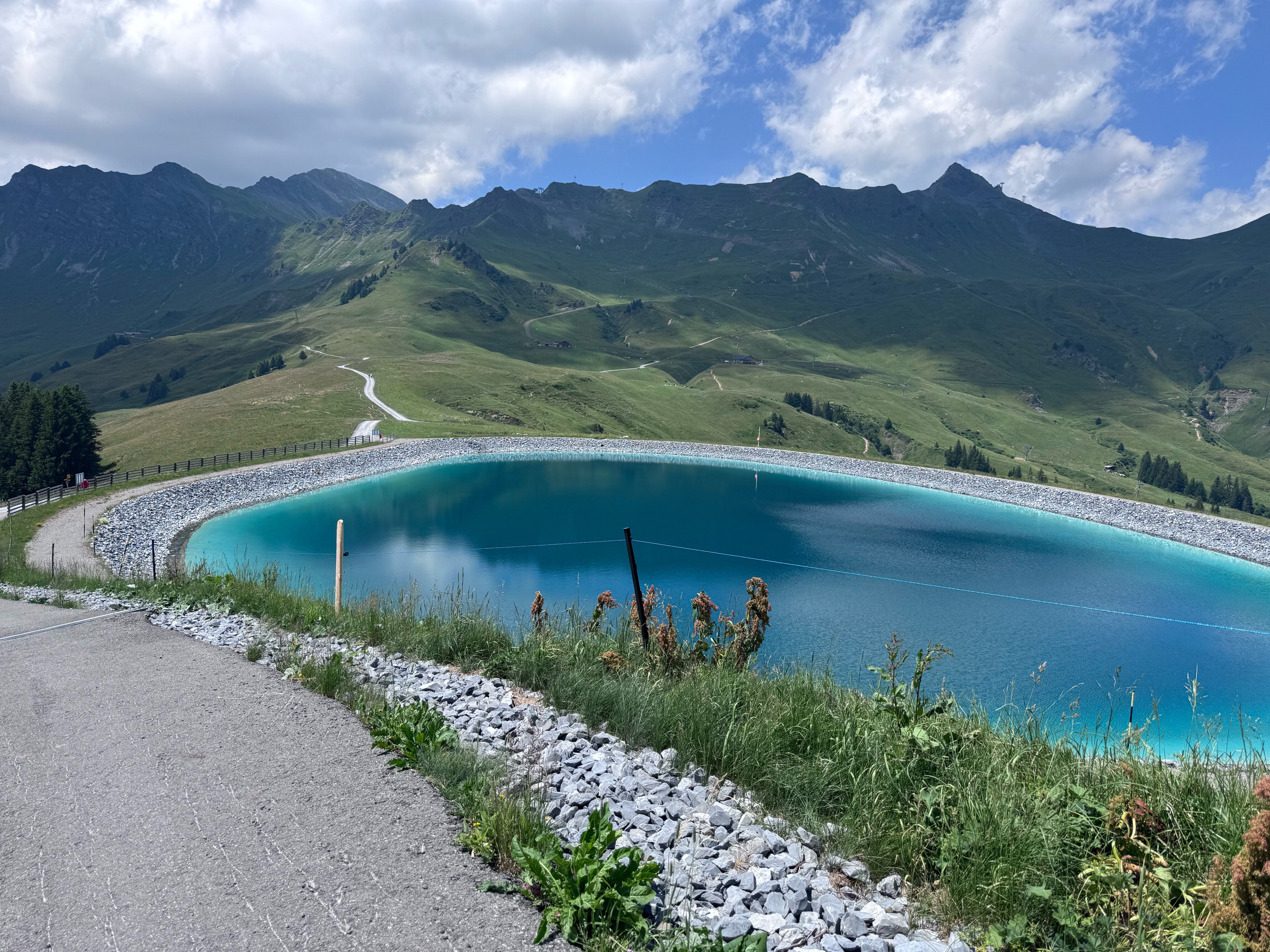
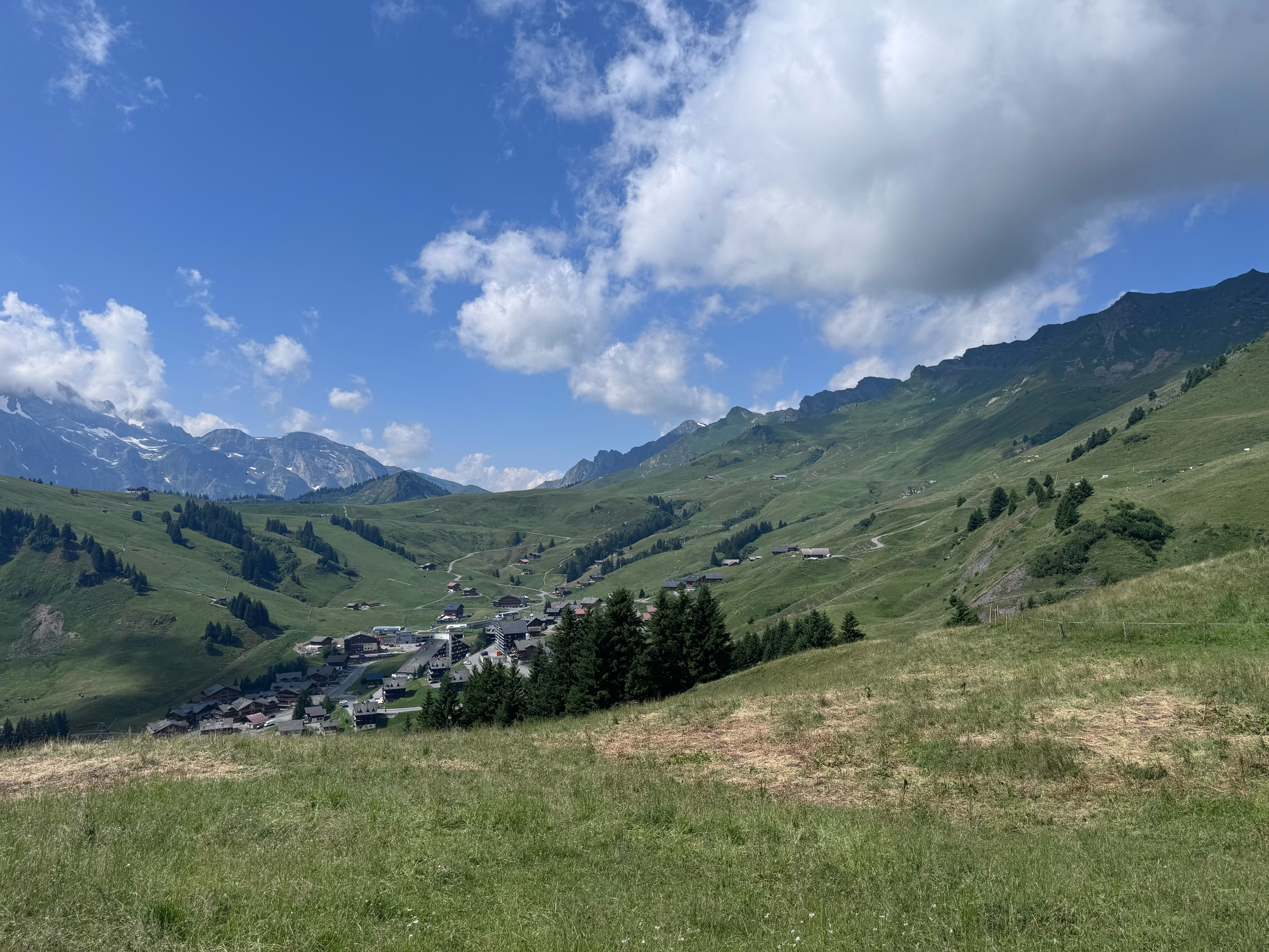
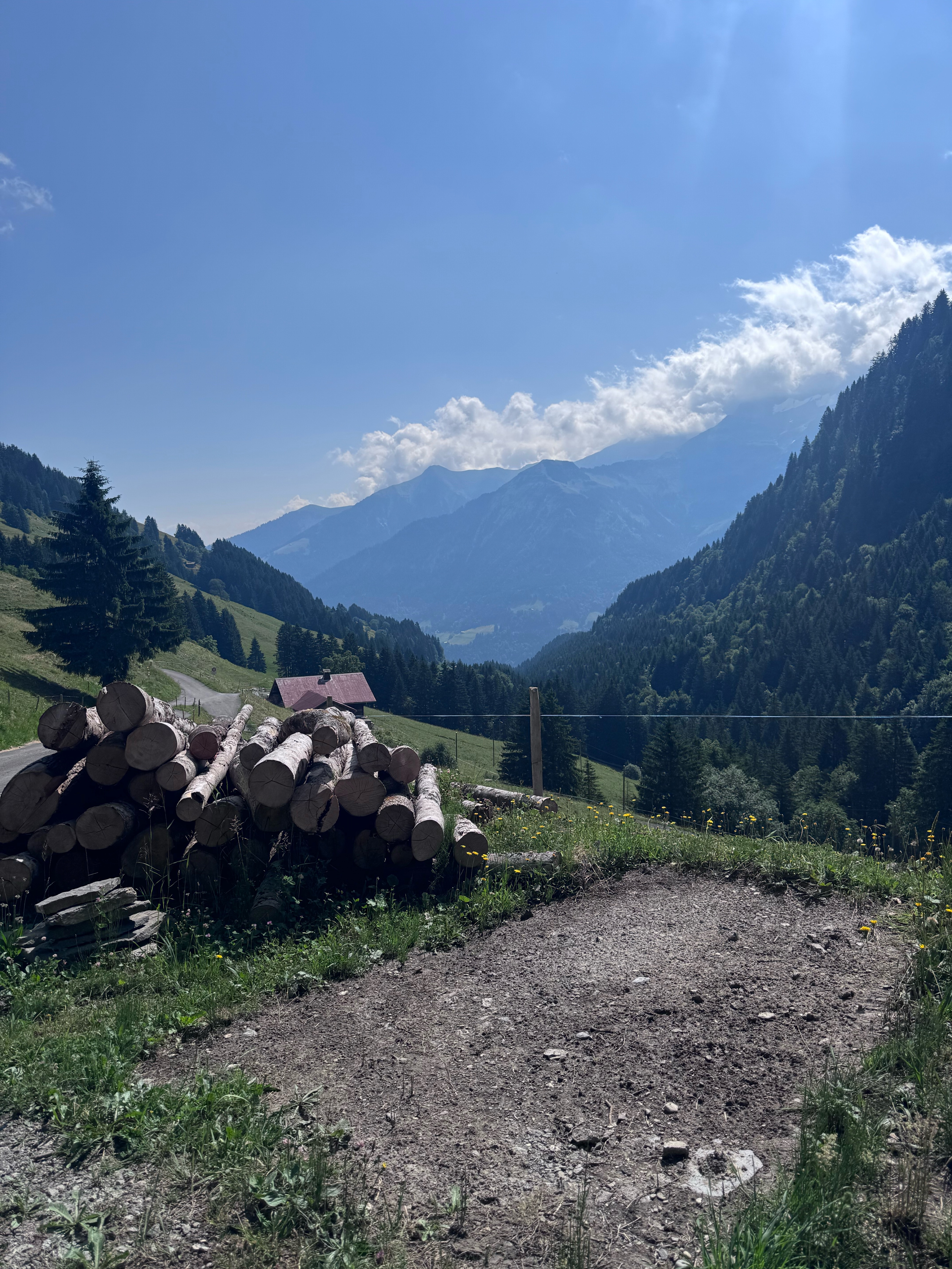
Cycling route in Troistorrents, Valais, Switzerland
Cycling route in Troistorrents, Valais, Switzerland
Cycling route in Troistorrents, Valais, Switzerland