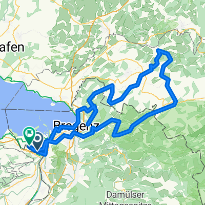
- 55.1 km
- 188 m
- 188 m
- Sankt Margrethen, Canton of St. Gallen, Switzerland

Cycling in Sankt Margrethen
Discover a map of 281 cycling routes and bike trails near Sankt Margrethen, created by our community.
Region portrait
Get to know Sankt Margrethen
Find the right bike route for you through Sankt Margrethen, where we've got 281 cycle routes to explore. Most people get on their bikes to ride here in the months of July and August.
32,802 km
Tracked distance
281
Cycle routes
5,395
Population
Community
Most active users in Sankt Margrethen
Handpicked routes
Discover Sankt Margrethen through these collections
 Tour
Tour
From our community
The best bike routes in and around Sankt Margrethen
Route in Sankt Margrethen
Cycling route in Sankt Margrethen, Canton of St. Gallen, Switzerland
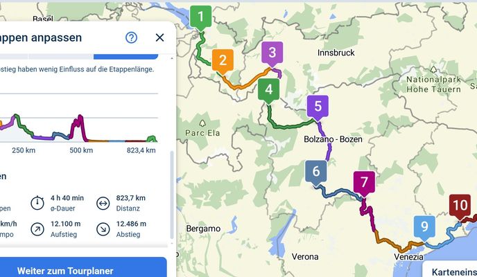
- 785 km
- Distance
- 14,132 m
- Ascent
- 13,710 m
- Descent
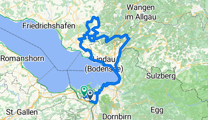
Degersee 2025 Sport
Cycling route in Sankt Margrethen, Canton of St. Gallen, Switzerland
- 110.7 km
- Distance
- 582 m
- Ascent
- 586 m
- Descent
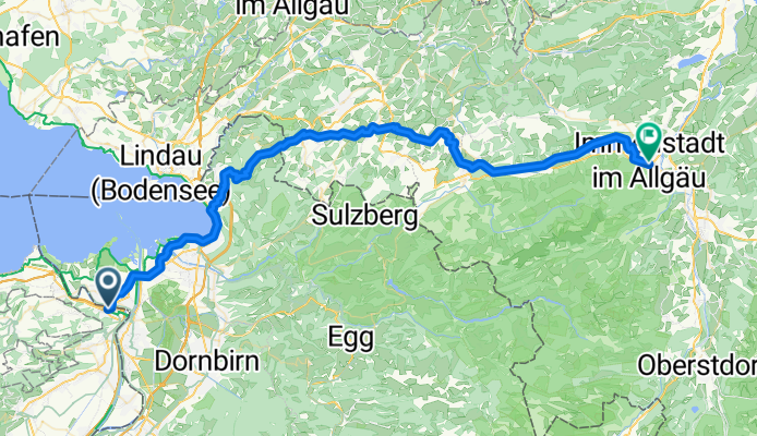
St. Margrethen SG - Burgberg im Allgäu
Cycling route in Sankt Margrethen, Canton of St. Gallen, Switzerland
- 65.4 km
- Distance
- 1,137 m
- Ascent
- 809 m
- Descent
Schöre Sport 2025
Cycling route in Sankt Margrethen, Canton of St. Gallen, Switzerland
- 126.7 km
- Distance
- 1,197 m
- Ascent
- 1,202 m
- Descent
Discover more routes
- From Höchst to Constance
- Oberstaufen-Pfänder 2025 Sport
- 128.2 km
- 1,628 m
- 1,627 m
- Sankt Margrethen, Canton of St. Gallen, Switzerland
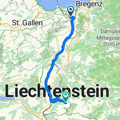
- Liechtenstein
- 62.5 km
- 1,497 m
- 304 m
- Sankt Margrethen, Canton of St. Gallen, Switzerland
- 2013 St. Margerethen-Zagreb
- 876.8 km
- 7,042 m
- 7,085 m
- Sankt Margrethen, Canton of St. Gallen, Switzerland
- Lecknertal 2025
- 115.7 km
- 1,701 m
- 1,702 m
- Sankt Margrethen, Canton of St. Gallen, Switzerland
- Bodensee harmadik nap megtett út
- 60.3 km
- 40 m
- 42 m
- Sankt Margrethen, Canton of St. Gallen, Switzerland
- BS Tag 1 Höchst - Romanshorn - Konstanz
- 68.2 km
- 18 m
- 18 m
- Sankt Margrethen, Canton of St. Gallen, Switzerland
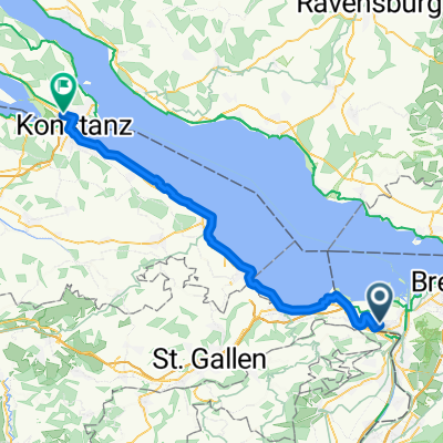
- Höchst-Konstanz (3)
- 53.1 km
- 57 m
- 56 m
- Sankt Margrethen, Canton of St. Gallen, Switzerland


