Cycling in Rapperswil
Discover a map of 531 cycling routes and bike trails near Rapperswil, created by our community.
Region portrait
Get to know Rapperswil
Find the right bike route for you through Rapperswil, where we've got 531 cycle routes to explore. Most people get on their bikes to ride here in the months of April and May.
41,251 km
Tracked distance
531
Cycle routes
34,776
Population
Community
Most active users in Rapperswil
Handpicked routes
Discover Rapperswil through these collections
Tour
Tour
From our community
The best bike routes in and around Rapperswil
Rund um die Rigi
Cycling route in Rapperswil, Canton of St. Gallen, Switzerland
- 119.8 km
- Distance
- 1,070 m
- Ascent
- 1,067 m
- Descent
Schönbodenstrasse 56, Rapperswil-Jona nach Schönbodenstrasse 56, Rapperswil-Jona
Cycling route in Rapperswil, Canton of St. Gallen, Switzerland
- 38.5 km
- Distance
- 293 m
- Ascent
- 293 m
- Descent
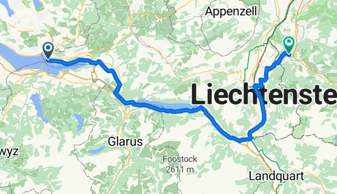
Challenge Tour: Rapperswil - Feldkirch
Cycling route in Rapperswil, Canton of St. Gallen, Switzerland
- 95.9 km
- Distance
- 138 m
- Ascent
- 88 m
- Descent
Rapperswil-Sass da Grüm
Cycling route in Rapperswil, Canton of St. Gallen, Switzerland
- 270.6 km
- Distance
- 2,119 m
- Ascent
- 2,064 m
- Descent
Discover more routes
 Rapperswil-Jona nach Rhein (Zweidlen). Neu: "Geheimer" Gleisweg Eglisau - Zweidlen (eine Verlängerung in den Schatten). Achtung: Beim Hochwasser: überflütet
- Distance
- 67.2 km
- Ascent
- 749 m
- Descent
- 803 m
- Location
- Rapperswil, Canton of St. Gallen, Switzerland
 Day 6: Turbental
- Distance
- 83 km
- Ascent
- 0 m
- Descent
- 0 m
- Location
- Rapperswil, Canton of St. Gallen, Switzerland
 Walensee-Rheintal-Appenzell
- Distance
- 174.7 km
- Ascent
- 1,275 m
- Descent
- 1,270 m
- Location
- Rapperswil, Canton of St. Gallen, Switzerland
 JN 4.2 Vierwaldstädter See
- Distance
- 65.3 km
- Ascent
- 789 m
- Descent
- 776 m
- Location
- Rapperswil, Canton of St. Gallen, Switzerland
 Schönbodenweg 54, Rapperswil-Jona nach Schönbodenweg 54, Rapperswil-Jona
- Distance
- 31.3 km
- Ascent
- 321 m
- Descent
- 320 m
- Location
- Rapperswil, Canton of St. Gallen, Switzerland
 Day 4: Queens Stage
- Distance
- 94.8 km
- Ascent
- 0 m
- Descent
- 0 m
- Location
- Rapperswil, Canton of St. Gallen, Switzerland
 Kempraten-Atzmännig-Hiltisberg-Kempraten
- Distance
- 44.6 km
- Ascent
- 649 m
- Descent
- 643 m
- Location
- Rapperswil, Canton of St. Gallen, Switzerland
 Sattelegg - Ibergeregg - Zugersee
- Distance
- 117.9 km
- Ascent
- 1,857 m
- Descent
- 1,858 m
- Location
- Rapperswil, Canton of St. Gallen, Switzerland


