
Cycling in Hölstein
Discover a map of 47 cycling routes and bike trails near Hölstein, created by our community.
Region portrait
Get to know Hölstein
Find the right bike route for you through Hölstein, where we've got 47 cycle routes to explore. Most people get on their bikes to ride here in the month of September.
824 km
Tracked distance
47
Cycle routes
2,249
Population
Community
Most active users in Hölstein


From our community
The best bike routes in and around Hölstein

Fietsvakantie 2014, Trip 9
Cycling route in Hölstein, Basel-Landschaft, Switzerland
- 105.7 km
- Distance
- 1,005 m
- Ascent
- 208 m
- Descent

11. Höllstein BL - Schönbühl
Cycling route in Hölstein, Basel-Landschaft, Switzerland
- 68.8 km
- Distance
- 533 m
- Ascent
- 477 m
- Descent

Route von Tiefenmattstrasse 48, Hölstein
Cycling route in Hölstein, Basel-Landschaft, Switzerland
- 3.7 km
- Distance
- 3 m
- Ascent
- 0 m
- Descent

Kirchhaldenweg 24A–56A, Hölstein to Hardstrasse 77, Basel
Cycling route in Hölstein, Basel-Landschaft, Switzerland
- 23.6 km
- Distance
- 121 m
- Ascent
- 318 m
- Descent
Discover more routes
 Bennwil rängelts
- Distance
- 10.9 km
- Ascent
- 327 m
- Descent
- 327 m
- Location
- Hölstein, Basel-Landschaft, Switzerland
 Hölstein Langenbruck
- Distance
- 27.4 km
- Ascent
- 977 m
- Descent
- 977 m
- Location
- Hölstein, Basel-Landschaft, Switzerland
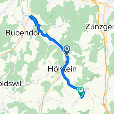
 Hölstein- Bubendorf
- Distance
- 7.7 km
- Ascent
- 24 m
- Descent
- 96 m
- Location
- Hölstein, Basel-Landschaft, Switzerland
 Zunzgerberg Ittingen 26 Km 340hm
- Distance
- 26.1 km
- Ascent
- 366 m
- Descent
- 366 m
- Location
- Hölstein, Basel-Landschaft, Switzerland
 Dielenberg Rundfahrt
- Distance
- 11.6 km
- Ascent
- 246 m
- Descent
- 244 m
- Location
- Hölstein, Basel-Landschaft, Switzerland
 Kurzchehr
- Distance
- 12 km
- Ascent
- 248 m
- Descent
- 247 m
- Location
- Hölstein, Basel-Landschaft, Switzerland
 Bergflue 22Km 700 Hm
- Distance
- 22.4 km
- Ascent
- 661 m
- Descent
- 660 m
- Location
- Hölstein, Basel-Landschaft, Switzerland
 Alte Landstrasse, Hölstein nach Hauptstrasse 9, Bennwil
- Distance
- 12.1 km
- Ascent
- 11 m
- Descent
- 19 m
- Location
- Hölstein, Basel-Landschaft, Switzerland