
Cycling in Gommiswald
Discover a map of 435 cycling routes and bike trails near Gommiswald, created by our community.
Region portrait
Get to know Gommiswald
Find the right bike route for you through Gommiswald, where we've got 435 cycle routes to explore. Most people get on their bikes to ride here in the months of June and September.
29,311 km
Tracked distance
435
Cycle routes
2,781
Population
Community
Most active users in Gommiswald


From our community
The best bike routes in and around Gommiswald

Toggenburg/Rheintal/Walensee
Cycling route in Gommiswald, Canton of St. Gallen, Switzerland
- 125.8 km
- Distance
- 1,271 m
- Ascent
- 1,271 m
- Descent

Uetliburg - Farneren
Cycling route in Gommiswald, Canton of St. Gallen, Switzerland
- 31.6 km
- Distance
- 947 m
- Ascent
- 948 m
- Descent

GA1-Training (bei Gewitter/Regen/Nass)
Cycling route in Gommiswald, Canton of St. Gallen, Switzerland
- 40.1 km
- Distance
- 227 m
- Ascent
- 227 m
- Descent

Uznach Herisau
Cycling route in Gommiswald, Canton of St. Gallen, Switzerland
- 42 km
- Distance
- 947 m
- Ascent
- 748 m
- Descent
Discover more routes
 Zürichseerundfahrt (95KM)
- Distance
- 95.8 km
- Ascent
- 250 m
- Descent
- 250 m
- Location
- Gommiswald, Canton of St. Gallen, Switzerland
 Ricken SG, Rittmarren, Ernetschwil nach Ricken SG, Rittmarren, Ernetschwil
- Distance
- 37.9 km
- Ascent
- 1,204 m
- Descent
- 1,184 m
- Location
- Gommiswald, Canton of St. Gallen, Switzerland
 Ricken -Schwägalp - Oberried - Wildhaus - Ricken
- Distance
- 126.6 km
- Ascent
- 1,761 m
- Descent
- 1,761 m
- Location
- Gommiswald, Canton of St. Gallen, Switzerland
 Mountainbike-Tour
- Distance
- 35.3 km
- Ascent
- 1,177 m
- Descent
- 1,174 m
- Location
- Gommiswald, Canton of St. Gallen, Switzerland
 Klausenpass-Rundfahrt
- Distance
- 162 km
- Ascent
- 2,207 m
- Descent
- 2,207 m
- Location
- Gommiswald, Canton of St. Gallen, Switzerland
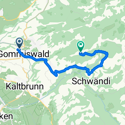 Moderate Route in Gommiswald
- Distance
- 10.5 km
- Ascent
- 946 m
- Descent
- 320 m
- Location
- Gommiswald, Canton of St. Gallen, Switzerland
 Test1
Test1- Distance
- 17.1 km
- Ascent
- 239 m
- Descent
- 338 m
- Location
- Gommiswald, Canton of St. Gallen, Switzerland
 Ricken-Oberricken-Walde-Wollerau-Samstagern-Rüschlikon
- Distance
- 60.4 km
- Ascent
- 745 m
- Descent
- 1,098 m
- Location
- Gommiswald, Canton of St. Gallen, Switzerland