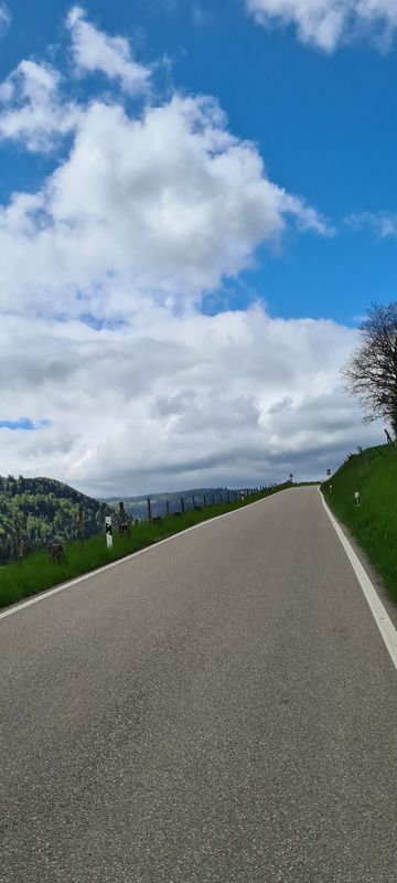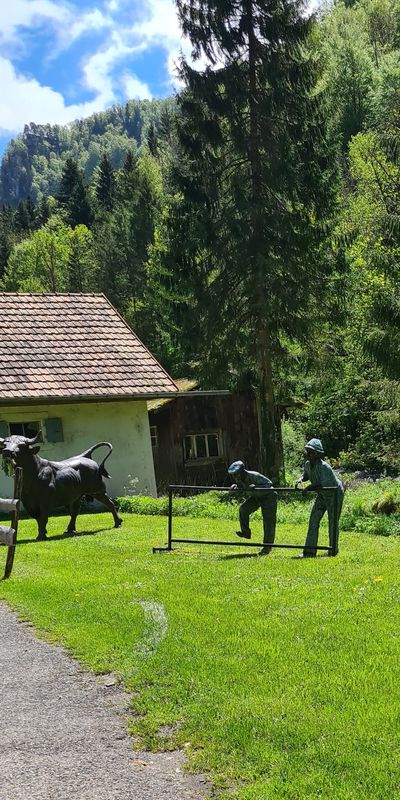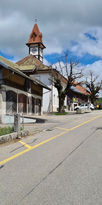
Cycling in Courtételle
Discover a map of 37 cycling routes and bike trails near Courtételle, created by our community.
Region portrait
Get to know Courtételle
Find the right bike route for you through Courtételle, where we've got 37 cycle routes to explore. Most people get on their bikes to ride here in the month of April.
2,456 km
Tracked distance
37
Cycle routes
2,248
Population
Community
Most active users in Courtételle
From our community
The best bike routes in and around Courtételle
Delémont - Gorges du Pichoud - Moutier
Cycling route in Courtételle, Canton of Jura, Switzerland
- 38.4 km
- Distance
- 521 m
- Ascent
- 471 m
- Descent
Les Rangiers - Goumois - Epiquerez - Les Rangiers
Cycling route in Courtételle, Canton of Jura, Switzerland
- 121.1 km
- Distance
- 2,092 m
- Ascent
- 2,092 m
- Descent
Passwang-Scheulte
Cycling route in Courtételle, Canton of Jura, Switzerland
- 72.3 km
- Distance
- 1,011 m
- Ascent
- 1,011 m
- Descent
Saulcy - Epiquerez - Les Rangiers
Cycling route in Courtételle, Canton of Jura, Switzerland
- 89.2 km
- Distance
- 1,502 m
- Ascent
- 1,505 m
- Descent
Discover more routes
 treino
- Distance
- 13.3 km
- Ascent
- 373 m
- Descent
- 356 m
- Location
- Courtételle, Canton of Jura, Switzerland
 Pequena volta em VTT
- Distance
- 27.9 km
- Ascent
- 153 m
- Descent
- 188 m
- Location
- Courtételle, Canton of Jura, Switzerland
 maria stein
- Distance
- 65.6 km
- Ascent
- 863 m
- Descent
- 886 m
- Location
- Courtételle, Canton of Jura, Switzerland
 Pdf
Pdf- Distance
- 2.3 km
- Ascent
- 10 m
- Descent
- 14 m
- Location
- Courtételle, Canton of Jura, Switzerland
 De Chemin des Esserts 12, Courtételle à Chemin des Esserts 12, Courtételle
- Distance
- 25.7 km
- Ascent
- 309 m
- Descent
- 305 m
- Location
- Courtételle, Canton of Jura, Switzerland
 De Chemin des Esserts 12, Courtételle à Rue de la Prairie 21, Bassecourt
- Distance
- 8.5 km
- Ascent
- 33 m
- Descent
- 104 m
- Location
- Courtételle, Canton of Jura, Switzerland
 Pdf
Pdf- Distance
- 35.8 km
- Ascent
- 685 m
- Descent
- 687 m
- Location
- Courtételle, Canton of Jura, Switzerland
 Les Rangiers-Col de la Croix-Col de Montvoie-Les Enfers-St-Brais
- Distance
- 113.7 km
- Ascent
- 2,109 m
- Descent
- 2,109 m
- Location
- Courtételle, Canton of Jura, Switzerland


