
Cycling in Buchrain
Discover a map of 219 cycling routes and bike trails near Buchrain, created by our community.
Region portrait
Get to know Buchrain
Find the right bike route for you through Buchrain, where we've got 219 cycle routes to explore. Most people get on their bikes to ride here in the months of May and July.
9,106 km
Tracked distance
219
Cycle routes
5,341
Population
Community
Most active users in Buchrain


From our community
The best bike routes in and around Buchrain
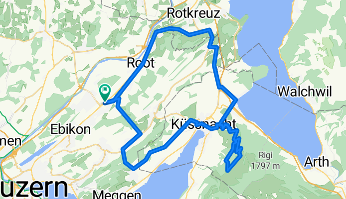
Seebodenalp
Cycling route in Buchrain, Canton of Lucerne, Switzerland
- 40.3 km
- Distance
- 932 m
- Ascent
- 932 m
- Descent

Zugerbergtour
Cycling route in Buchrain, Canton of Lucerne, Switzerland
- 61.1 km
- Distance
- 979 m
- Ascent
- 979 m
- Descent

Rundereise 20170510
Cycling route in Buchrain, Canton of Lucerne, Switzerland
- 81.1 km
- Distance
- 369 m
- Ascent
- 369 m
- Descent

Buchrain - Michaelskreuz - Meggerwald - Ebrüti - Buchrain
Cycling route in Buchrain, Canton of Lucerne, Switzerland
- 27.5 km
- Distance
- 747 m
- Ascent
- 749 m
- Descent
Discover more routes
 Buchrain - Emmen- kleine Emme - Buchrain
- Distance
- 45.9 km
- Ascent
- 352 m
- Descent
- 358 m
- Location
- Buchrain, Canton of Lucerne, Switzerland
 Tannehüsli
- Distance
- 16.7 km
- Ascent
- 570 m
- Descent
- 42 m
- Location
- Buchrain, Canton of Lucerne, Switzerland
 J Buchrain-Bremgarten
- Distance
- 38.1 km
- Ascent
- 181 m
- Descent
- 214 m
- Location
- Buchrain, Canton of Lucerne, Switzerland
 Buchrain - Michelskreuz - Honau - Reuss - Buchrain
- Distance
- 21.4 km
- Ascent
- 393 m
- Descent
- 393 m
- Location
- Buchrain, Canton of Lucerne, Switzerland
 Rond-Zugersee-83km-1330hoogte
- Distance
- 83.3 km
- Ascent
- 1,164 m
- Descent
- 1,170 m
- Location
- Buchrain, Canton of Lucerne, Switzerland
 buri-WH-sins-reuss-buri
- Distance
- 48.2 km
- Ascent
- 233 m
- Descent
- 282 m
- Location
- Buchrain, Canton of Lucerne, Switzerland
 Michelskreuz 2 Trails
- Distance
- 28.5 km
- Ascent
- 701 m
- Descent
- 707 m
- Location
- Buchrain, Canton of Lucerne, Switzerland
 Buchrain - Winterhalden - Sins - Gisikon
- Distance
- 28.3 km
- Ascent
- 239 m
- Descent
- 285 m
- Location
- Buchrain, Canton of Lucerne, Switzerland