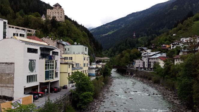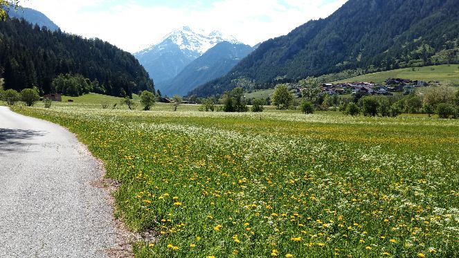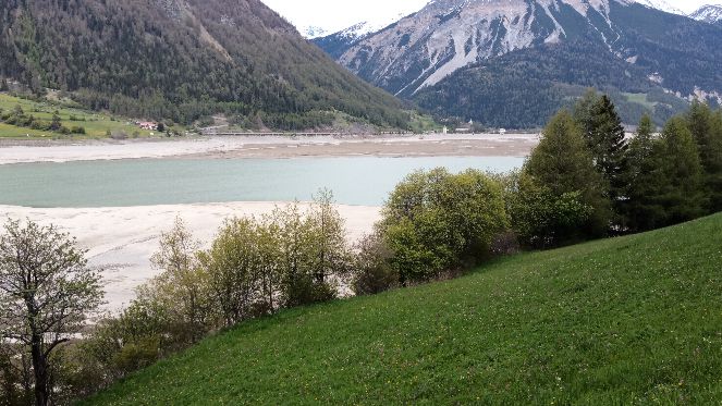
Cycling in Zams
Discover a map of 294 cycling routes and bike trails near Zams, created by our community.
Region portrait
Get to know Zams
Find the right bike route for you through Zams, where we've got 294 cycle routes to explore. Most people get on their bikes to ride here in the months of July and August.
21,269 km
Tracked distance
294
Cycle routes
Handpicked routes
Discover Zams through these collections
Tour
Tour
From our community
The best bike routes in and around Zams
solo_23_16_Landeck - Nauders
Cycling route in Zams, Tyrol, Austria
- 69.3 km
- Distance
- 1,856 m
- Ascent
- 1,151 m
- Descent
Legends 2014 / Var.1
Cycling route in Zams, Tyrol, Austria
- 426.4 km
- Distance
- 5,211 m
- Ascent
- 5,783 m
- Descent
Discover more routes
 Kaunserjoch über Landeck, Imst, Arzl im Pitztal,
- Distance
- 49.3 km
- Ascent
- 948 m
- Descent
- 949 m
- Location
- Zams, Tyrol, Austria
 Landeck-Verona
- Distance
- 360.3 km
- Ascent
- 4,270 m
- Descent
- 4,989 m
- Location
- Zams, Tyrol, Austria
 Bruck/Mur-Zürich-2017-08
- Distance
- 46.4 km
- Ascent
- 1,140 m
- Descent
- 94 m
- Location
- Zams, Tyrol, Austria
 2010_4_Via Claudia Augusta_Zams - St.Valentin
- Distance
- 86.4 km
- Ascent
- 1,230 m
- Descent
- 524 m
- Location
- Zams, Tyrol, Austria
 Landeck-Riva
- Distance
- 285.8 km
- Ascent
- 4,196 m
- Descent
- 3,392 m
- Location
- Zams, Tyrol, Austria
 2. Piller Runde
- Distance
- 48.7 km
- Ascent
- 954 m
- Descent
- 954 m
- Location
- Zams, Tyrol, Austria
 3. Piller Runde
- Distance
- 50.5 km
- Ascent
- 999 m
- Descent
- 999 m
- Location
- Zams, Tyrol, Austria
 33 Krahberg Googlesalm
- Distance
- 37.8 km
- Ascent
- 1,493 m
- Descent
- 1,492 m
- Location
- Zams, Tyrol, Austria


