
Cycling in Winklern
Discover a map of 158 cycling routes and bike trails near Winklern, created by our community.
Region portrait
Get to know Winklern
Find the right bike route for you through Winklern, where we've got 158 cycle routes to explore. Most people get on their bikes to ride here in the months of July and August.
14,755 km
Tracked distance
158
Cycle routes
Community
Most active users in Winklern


Handpicked routes
Discover Winklern through these collections


From our community
The best bike routes in and around Winklern

Itálie 1999 - 4. etapa (1.8.1999)
Cycling route in Winklern, Carinthia, Austria
Horní Dvořiště(CZ) - Linz(A) - Wels (A) - AtterSee (A) - Salzburg(A) - Bad Reichenhall (D) - Zell am See (A) - Grossglockner(A) - Winklern (A) - Tolmezzo (It) - Dignano (It) - Bibione (It) - Caorle(It) Venzone (It) - Tarvisio (It) - Villach (A) - Klagenfurt (A) - Wolfsberg (A) - Bruck an der Mur (A) - Neunkirchen (A) - Wiener Neustadt (A) - Bruck an der Leitha (A) - Petržalka (SK) - Bratislava(SK)
NAJETO 136,3 KM, ČAS 6:19,RYCHLOST 21,6
- 132.5 km
- Distance
- 1,298 m
- Ascent
- 2,302 m
- Descent

Großglockner
Cycling route in Winklern, Carinthia, Austria
Winklern-Heiligenblut-Hochtor- Kaiser Franz Josef Höhe-Heiligenblut-Winklern
- 90.3 km
- Distance
- 2,197 m
- Ascent
- 2,197 m
- Descent

GROSSGLOCKNER Hochalpenstrasse: Franz Josef Hohe - ?
Cycling route in Winklern, Carinthia, Austria
ps. droga hochalpenstraBe nie posiada przeleczy jako takiej, bo jest tunel pod Hochtorem:/
- 79.2 km
- Distance
- 1,558 m
- Ascent
- 1,560 m
- Descent

Großglocknertour 2008 - Tag 2
Cycling route in Winklern, Carinthia, Austria
- 74 km
- Distance
- 2,408 m
- Ascent
- 2,575 m
- Descent
Discover more routes
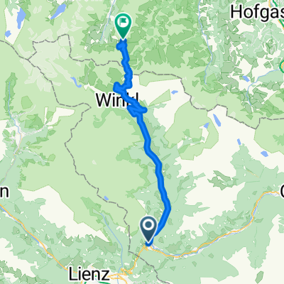
 3 - Winklern - Heiligenblut
- Distance
- 25 km
- Ascent
- 607 m
- Descent
- 190 m
- Location
- Winklern, Carinthia, Austria
 RR-Berg: Grossglockner KURZ (Winklern-Heiligenblut-Hochtor-Edelweissspitze)
- Distance
- 45.3 km
- Ascent
- 1,992 m
- Descent
- 370 m
- Location
- Winklern, Carinthia, Austria
 Mi10 Winklern - Heiligenblut 22+22 330HM
- Distance
- 21.6 km
- Ascent
- 566 m
- Descent
- 149 m
- Location
- Winklern, Carinthia, Austria
 Winklern-Glockner-Hochtor
- Distance
- 89.1 km
- Ascent
- 2,012 m
- Descent
- 2,012 m
- Location
- Winklern, Carinthia, Austria
 KR_04_Iselsberg_Hermagor_Vorderberg
- Distance
- 87 km
- Ascent
- 464 m
- Descent
- 1,039 m
- Location
- Winklern, Carinthia, Austria
 Etappe 3 Winklern -Mantrach
- Distance
- 257.5 km
- Ascent
- 712 m
- Descent
- 1,347 m
- Location
- Winklern, Carinthia, Austria
 Lienz - Stallersattel - Jaufenpass - Stilfser Joch - Bormio
- Distance
- 315.7 km
- Ascent
- 5,760 m
- Descent
- 5,490 m
- Location
- Winklern, Carinthia, Austria
 Itálie 1999 - 4. etapa (1.8.1999) CLONED FROM ROUTE 304686
- Distance
- 128.6 km
- Ascent
- 1,248 m
- Descent
- 2,270 m
- Location
- Winklern, Carinthia, Austria
Routes from Winklern
Cycling day trip from
Winklern to Heiligenblut am Großglockner