Cycling in Waldegg
Discover a map of 48 cycling routes and bike trails near Waldegg, created by our community.
Region portrait
Get to know Waldegg
Find the right bike route for you through Waldegg, where we've got 48 cycle routes to explore. Most people get on their bikes to ride here in the month of July.
1,478 km
Tracked distance
48
Cycle routes
Community
Most active users in Waldegg
From our community
The best bike routes in and around Waldegg
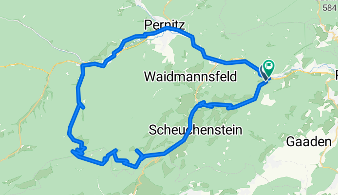
GT Öhler Schutzhaus Original
Cycling route in Waldegg, Lower Austria, Austria
- 46.5 km
- Distance
- 1,659 m
- Ascent
- 1,662 m
- Descent
Radrunde von Waldegg nach Wiener Neustadt
Cycling route in Waldegg, Lower Austria, Austria
- 24.6 km
- Distance
- 75 m
- Ascent
- 193 m
- Descent
Rund um die Hohe Wand 1
Cycling route in Waldegg, Lower Austria, Austria
- 45.8 km
- Distance
- 662 m
- Ascent
- 662 m
- Descent
Discover more routes
 Waldegg - Miesenbach - Scheimhütten - Tour
- Distance
- 35.3 km
- Ascent
- 1,210 m
- Descent
- 1,210 m
- Location
- Waldegg, Lower Austria, Austria
 Postlstraße, Hohe Wand nach Waisenhausgasse, Wiener Neustadt
- Distance
- 25 km
- Ascent
- 59 m
- Descent
- 668 m
- Location
- Waldegg, Lower Austria, Austria
 Erster Tandemflug
- Distance
- 5.2 km
- Ascent
- 126 m
- Descent
- 647 m
- Location
- Waldegg, Lower Austria, Austria
 Warm up Frühling 2010
- Distance
- 45.1 km
- Ascent
- 760 m
- Descent
- 786 m
- Location
- Waldegg, Lower Austria, Austria
 Oed 5 nach Rathausplatz 1, Leobersdorf
- Distance
- 24.4 km
- Ascent
- 28 m
- Descent
- 211 m
- Location
- Waldegg, Lower Austria, Austria
 Hohe Wand-Sopron
- Distance
- 71.4 km
- Ascent
- 205 m
- Descent
- 884 m
- Location
- Waldegg, Lower Austria, Austria
 Hohe_wand_kör_121km
- Distance
- 125.6 km
- Ascent
- 2,023 m
- Descent
- 2,025 m
- Location
- Waldegg, Lower Austria, Austria
 Hernstein
- Distance
- 42.4 km
- Ascent
- 393 m
- Descent
- 393 m
- Location
- Waldegg, Lower Austria, Austria


