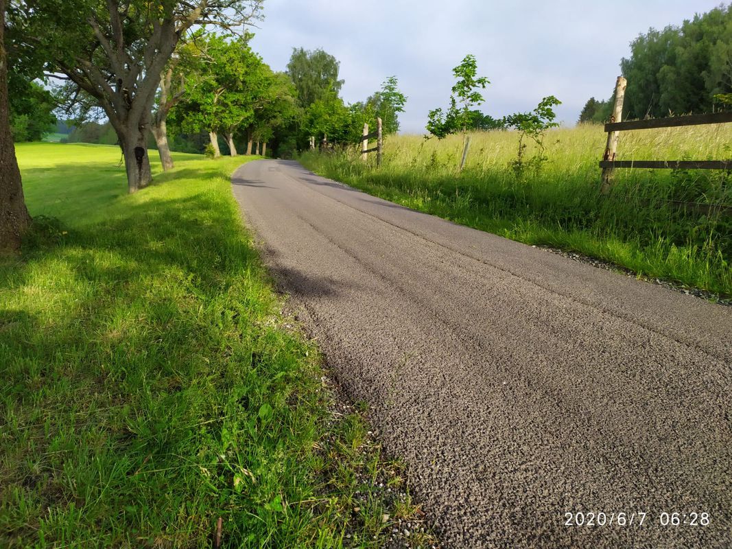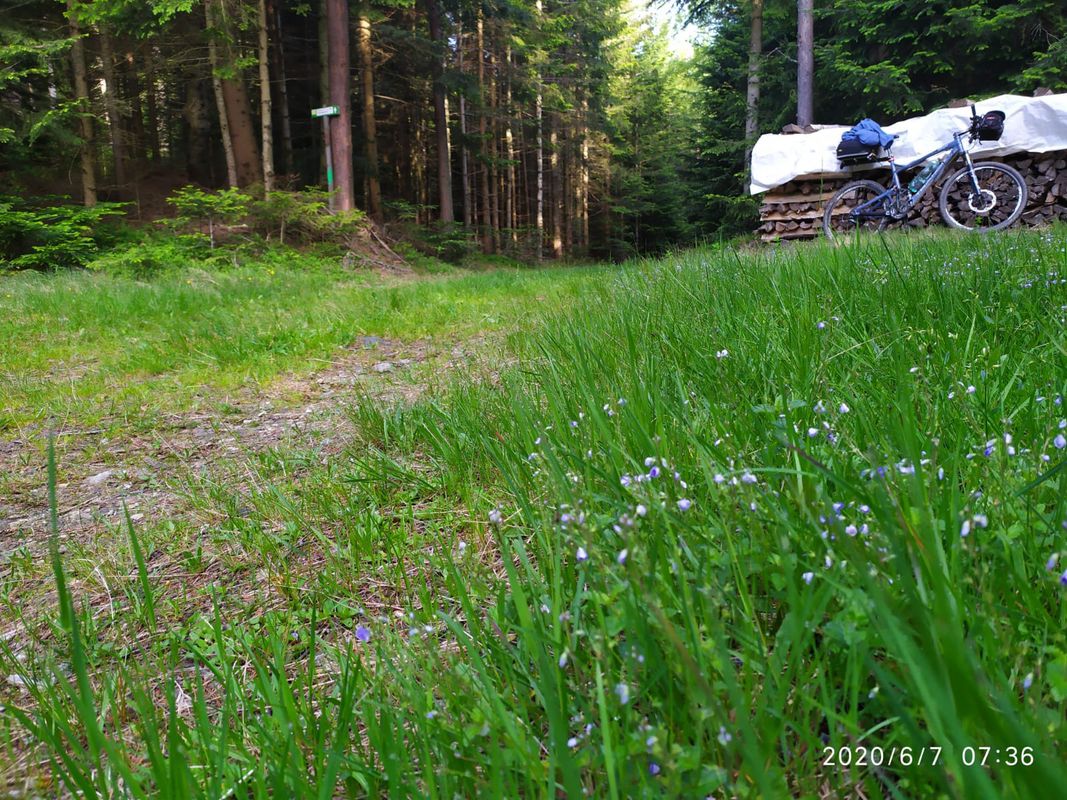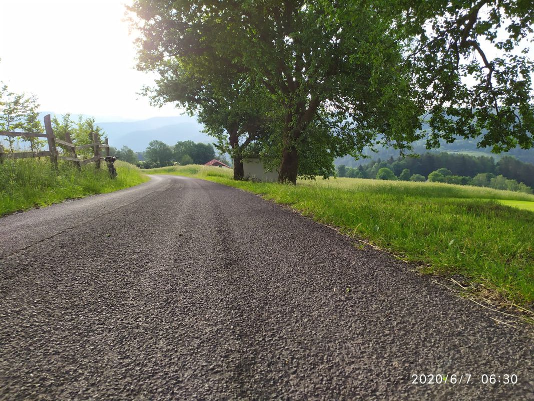
Cycling in Thomasberg
Discover a map of 150 cycling routes and bike trails near Thomasberg, created by our community.
Region portrait
Get to know Thomasberg
Find the right bike route for you through Thomasberg, where we've got 150 cycle routes to explore. Most people get on their bikes to ride here in the months of May and June.
8,132 km
Tracked distance
150
Cycle routes
Community
Most active users in Thomasberg
From our community
The best bike routes in and around Thomasberg
Aspang,Almrauschhütte,St. Peter,Aspang
Cycling route in Thomasberg, Lower Austria, Austria
- 23.2 km
- Distance
- 1,727 m
- Ascent
- 1,728 m
- Descent
große Hochwechselrunde
Cycling route in Thomasberg, Lower Austria, Austria
- 60.6 km
- Distance
- 1,472 m
- Ascent
- 1,470 m
- Descent
Zöbernstraße, Aspang-Markt to Zöbernstraße, Aspang-Markt
Cycling route in Thomasberg, Lower Austria, Austria
- 11.8 km
- Distance
- 578 m
- Ascent
- 580 m
- Descent
Aspang - Passkapelle - Hergott. - Kampstein.
Cycling route in Thomasberg, Lower Austria, Austria
- 43.4 km
- Distance
- 1,209 m
- Ascent
- 1,170 m
- Descent
Discover more routes
 Aspang Hochwechsel Panorama-Runde Wexl Trails mit "The WU"
- Distance
- 57.8 km
- Ascent
- 1,438 m
- Descent
- 1,439 m
- Location
- Thomasberg, Lower Austria, Austria
 NÖ-Steiermark-Battle
- Distance
- 95.7 km
- Ascent
- 2,100 m
- Descent
- 1,640 m
- Location
- Thomasberg, Lower Austria, Austria
 Aspang - Hottmannsgraben - Paßkapelle - Außeraigen - Aspang
- Distance
- 18.8 km
- Ascent
- 675 m
- Descent
- 673 m
- Location
- Thomasberg, Lower Austria, Austria
 Von Aspang nach Köszeg
- Distance
- 53.3 km
- Ascent
- 512 m
- Descent
- 699 m
- Location
- Thomasberg, Lower Austria, Austria
 Aspang - Murtalgraben - Mönichkirchner Schwaig - Kogel - Langegg
- Distance
- 25.5 km
- Ascent
- 760 m
- Descent
- 757 m
- Location
- Thomasberg, Lower Austria, Austria
 Edlitz-Kirchschlag-Aspang
- Distance
- 55.2 km
- Ascent
- 871 m
- Descent
- 871 m
- Location
- Thomasberg, Lower Austria, Austria
 MTB Hochwechselrunde
- Distance
- 44.8 km
- Ascent
- 1,312 m
- Descent
- 1,312 m
- Location
- Thomasberg, Lower Austria, Austria
 Krumbach_Ransdorf
- Distance
- 28.3 km
- Ascent
- 748 m
- Descent
- 749 m
- Location
- Thomasberg, Lower Austria, Austria


