
Cycling in Steyregg
Discover a map of 723 cycling routes and bike trails near Steyregg, created by our community.
Region portrait
Get to know Steyregg
Find the right bike route for you through Steyregg, where we've got 723 cycle routes to explore. Most people get on their bikes to ride here in the months of July and August.
41,113 km
Tracked distance
723
Cycle routes
4,856
Population
Community
Most active users in Steyregg


Handpicked routes
Discover Steyregg through these collections
Tour
From our community
The best bike routes in and around Steyregg

Südlicher Pfenningberg
Cycling route in Steyregg, Upper Austria, Austria
- 8.9 km
- Distance
- 416 m
- Ascent
- 300 m
- Descent


erste Etappe Ly und jo
Cycling route in Steyregg, Upper Austria, Austria
- 75.9 km
- Distance
- 386 m
- Ascent
- 136 m
- Descent

Mountainbike SolarCity - GIS (Giselawarte)
Cycling route in Steyregg, Upper Austria, Austria
- 27.3 km
- Distance
- 778 m
- Ascent
- 101 m
- Descent
Discover more routes
 MTB Runde 20km - Pürach - Götzelsdorf - Haid - Wolfing - Hohenstein - Weingraben - St. Georgen
- Distance
- 20.5 km
- Ascent
- 353 m
- Descent
- 353 m
- Location
- Steyregg, Upper Austria, Austria
 MTB Runde 55km - Satzing - Pürach - Götzelsdorf - Holzwinden - Lachstadt - Pfenningberg - Plesching - Linz-Urfahr - Lichtenberg - GIS Warte - Lichtenberg - Linz
- Distance
- 55.7 km
- Ascent
- 1,295 m
- Descent
- 1,297 m
- Location
- Steyregg, Upper Austria, Austria
 MTB Runde 30km
- Distance
- 30.5 km
- Ascent
- 521 m
- Descent
- 521 m
- Location
- Steyregg, Upper Austria, Austria
 MTB Runde 45km - Statzing
- Distance
- 45.3 km
- Ascent
- 952 m
- Descent
- 952 m
- Location
- Steyregg, Upper Austria, Austria
 Nette Abendrunde
- Distance
- 39.2 km
- Ascent
- 472 m
- Descent
- 465 m
- Location
- Steyregg, Upper Austria, Austria
 20190111 Spaziergang mit Krone
- Distance
- 10.3 km
- Ascent
- 282 m
- Descent
- 281 m
- Location
- Steyregg, Upper Austria, Austria
 Linz-Gramastetten-Kirchaschlag-Goli-Linz
- Distance
- 70.8 km
- Ascent
- 1,424 m
- Descent
- 1,424 m
- Location
- Steyregg, Upper Austria, Austria
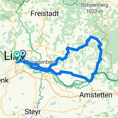 Linz-Königswiesen-Grein-Linz
- Distance
- 151.6 km
- Ascent
- 935 m
- Descent
- 923 m
- Location
- Steyregg, Upper Austria, Austria
Routes from Steyregg
Quick ride by bicycle from
Steyregg to Linz
Routes to Steyregg
Quick ride by bicycle from
Linz to Steyregg