Cycling in Statzendorf
Discover a map of 81 cycling routes and bike trails near Statzendorf, created by our community.
Region portrait
Get to know Statzendorf
Find the right bike route for you through Statzendorf, where we've got 81 cycle routes to explore. Most people get on their bikes to ride here in the months of July and September.
3,031 km
Tracked distance
81
Cycle routes
Community
Most active users in Statzendorf
From our community
The best bike routes in and around Statzendorf
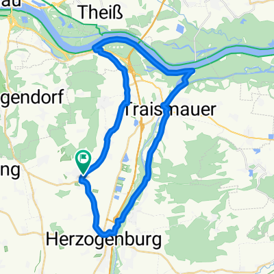
Absdorf Traismauer Bank Hanni besucht
Cycling route in Statzendorf, Lower Austria, Austria
- 34.4 km
- Distance
- 241 m
- Ascent
- 237 m
- Descent
INZERSDORF - PALT - DRW - WEINBERGRADWEG
Cycling route in Statzendorf, Lower Austria, Austria
Eigene Planung.
Start und Ziel: Walpersdorf
- 37.7 km
- Distance
- 493 m
- Ascent
- 483 m
- Descent
GÖTTWEIGER BERG + WEINBERGE
Cycling route in Statzendorf, Lower Austria, Austria
Quelle: Radkarte Tullner Donauraum - Traiaental - St.Pölten
Start und Ziel: Walpersdorf
Erweiterung über Weinbergradwege
- 39.1 km
- Distance
- 726 m
- Ascent
- 729 m
- Descent
Traisental-Kamptal bis zur Rosenburg
Cycling route in Statzendorf, Lower Austria, Austria
hin und zurück ist es eine schöne Tagestour mit vielen schönen Plätzen zum Rasten aber auch viele Einkehr möglichkeiten!
- 57.8 km
- Distance
- 257 m
- Ascent
- 123 m
- Descent
Discover more routes
 Herrenradtour
- Distance
- 195 km
- Ascent
- 799 m
- Descent
- 799 m
- Location
- Statzendorf, Lower Austria, Austria
 Kuffern - Furth - Mautern - Krems
- Distance
- 15.2 km
- Ascent
- 72 m
- Descent
- 169 m
- Location
- Statzendorf, Lower Austria, Austria
 traisen
- Distance
- 28.6 km
- Ascent
- 274 m
- Descent
- 294 m
- Location
- Statzendorf, Lower Austria, Austria
 Basisrunde unteres Traisental
- Distance
- 31.3 km
- Ascent
- 114 m
- Descent
- 114 m
- Location
- Statzendorf, Lower Austria, Austria
 Traisental Theyern
- Distance
- 13.3 km
- Ascent
- 364 m
- Descent
- 359 m
- Location
- Statzendorf, Lower Austria, Austria
 Traisentalrunde
- Distance
- 49.6 km
- Ascent
- 163 m
- Descent
- 215 m
- Location
- Statzendorf, Lower Austria, Austria
 laufen fladnitz 19.09.2021
- Distance
- 3.3 km
- Ascent
- 22 m
- Descent
- 21 m
- Location
- Statzendorf, Lower Austria, Austria
 absdorf - fugging - paudorf - absdorf
- Distance
- 18.4 km
- Ascent
- 184 m
- Descent
- 168 m
- Location
- Statzendorf, Lower Austria, Austria


