Cycling in Sankt Gallenkirch
Discover a map of 127 cycling routes and bike trails near Sankt Gallenkirch, created by our community.
Region portrait
Get to know Sankt Gallenkirch
Find the right bike route for you through Sankt Gallenkirch, where we've got 127 cycle routes to explore. Most people get on their bikes to ride here in the months of June and July.
8,056 km
Tracked distance
127
Cycle routes
Community
Most active users in Sankt Gallenkirch
From our community
The best bike routes in and around Sankt Gallenkirch
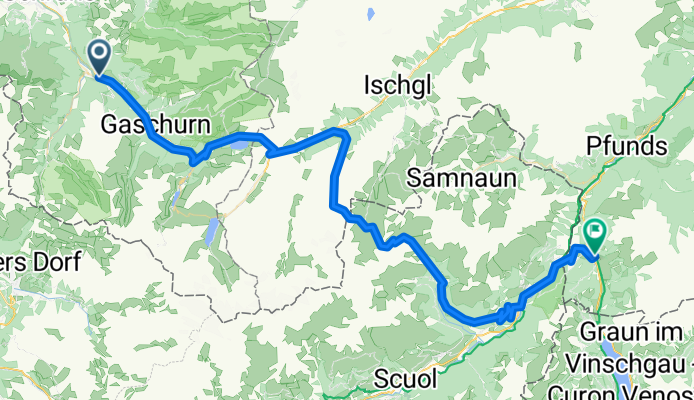
Von Bludenz bis Nauders
Cycling route in Sankt Gallenkirch, Vorarlberg, Austria
- 76.9 km
- Distance
- 3,739 m
- Ascent
- 3,248 m
- Descent
St. Gallenkirch - Ischgl
Cycling route in Sankt Gallenkirch, Vorarlberg, Austria
- 39 km
- Distance
- 1,625 m
- Ascent
- 874 m
- Descent
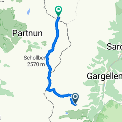
Gargellen-Silvretta-Stausse-retour
Cycling route in Sankt Gallenkirch, Vorarlberg, Austria
- 74 km
- Distance
- 1,921 m
- Ascent
- 1,921 m
- Descent
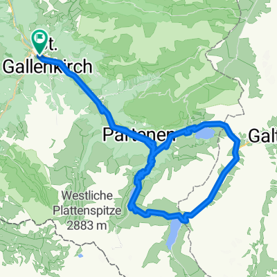
Koopsstausee von St. Gallenkirch
Cycling route in Sankt Gallenkirch, Vorarlberg, Austria
- 45.4 km
- Distance
- 1,623 m
- Ascent
- 1,620 m
- Descent
Discover more routes
 St. Gallenkirch - Bike 1
- Distance
- 7.2 km
- Ascent
- 409 m
- Descent
- 411 m
- Location
- Sankt Gallenkirch, Vorarlberg, Austria
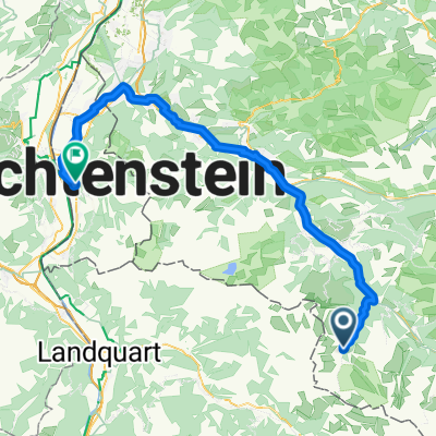
 von Galgenul ueber das Schlappinerjoch nach Klosters
- Distance
- 18.4 km
- Ascent
- 1,414 m
- Descent
- 1,124 m
- Location
- Sankt Gallenkirch, Vorarlberg, Austria
 Rund um die Valisera Talstation
- Distance
- 0.7 km
- Ascent
- 4 m
- Descent
- 0 m
- Location
- Sankt Gallenkirch, Vorarlberg, Austria
 MTB_Kops_Silvretta
- Distance
- 58.5 km
- Ascent
- 1,900 m
- Descent
- 1,899 m
- Location
- Sankt Gallenkirch, Vorarlberg, Austria
 Gargellen Zentrum to Städtle
- Distance
- 68.6 km
- Ascent
- 567 m
- Descent
- 1,527 m
- Location
- Sankt Gallenkirch, Vorarlberg, Austria
 Bartholomäberg
- Distance
- 35.5 km
- Ascent
- 763 m
- Descent
- 755 m
- Location
- Sankt Gallenkirch, Vorarlberg, Austria
 Rund ins Montafontal
- Distance
- 55 km
- Ascent
- 1,173 m
- Descent
- 1,172 m
- Location
- Sankt Gallenkirch, Vorarlberg, Austria
 schafberghuesli-planseggenpass
- Distance
- 7.6 km
- Ascent
- 774 m
- Descent
- 582 m
- Location
- Sankt Gallenkirch, Vorarlberg, Austria


