
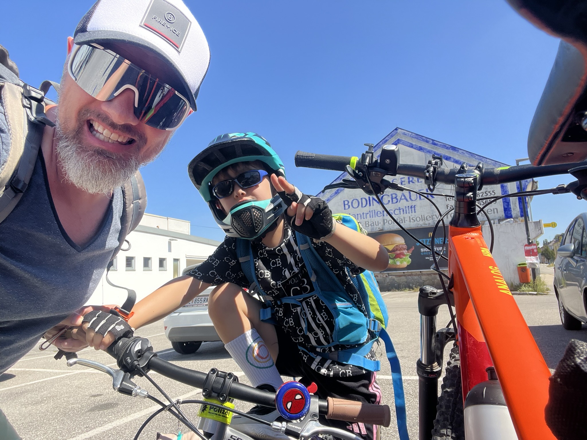
Cycling in Pflach
Discover a map of 80 cycling routes and bike trails near Pflach, created by our community.
Region portrait
Get to know Pflach
Find the right bike route for you through Pflach, where we've got 80 cycle routes to explore. Most people get on their bikes to ride here in the months of June and July.
7,449 km
Tracked distance
80
Cycle routes
Community
Most active users in Pflach


Handpicked routes
Discover Pflach through these collections
Tour
From our community
The best bike routes in and around Pflach


Discover more routes
 Raazalm
- Distance
- 53.3 km
- Ascent
- 1,123 m
- Descent
- 1,122 m
- Location
- Pflach, Tyrol, Austria
 Radtour 2024
- Distance
- 875.9 km
- Ascent
- 11,679 m
- Descent
- 11,666 m
- Location
- Pflach, Tyrol, Austria
 Bärenfalle - Musauer Alm - Füssener Hütte
- Distance
- 8.6 km
- Ascent
- 694 m
- Descent
- 23 m
- Location
- Pflach, Tyrol, Austria
 Von Pflach - Plansee - Lermoos - Pflach
- Distance
- 57.9 km
- Ascent
- 506 m
- Descent
- 507 m
- Location
- Pflach, Tyrol, Austria
 Säuling-Runde
- Distance
- 55.4 km
- Ascent
- 2,315 m
- Descent
- 1,726 m
- Location
- Pflach, Tyrol, Austria
 Säuling-Runde
- Distance
- 43.6 km
- Ascent
- 788 m
- Descent
- 788 m
- Location
- Pflach, Tyrol, Austria
 Otto-Mayr-Hütte 1529m
- Distance
- 7.9 km
- Ascent
- 748 m
- Descent
- 70 m
- Location
- Pflach, Tyrol, Austria
 Pflach-Stanzach-Namlos-Berwang-Pflach
- Distance
- 67.3 km
- Ascent
- 687 m
- Descent
- 687 m
- Location
- Pflach, Tyrol, Austria