


- 148.1 km
- 688 m
- 1,441 m
- Mönichkirchen, Lower Austria, Austria

Cycling in Lower Austria
Discover a map of 90,482 cycling routes and bike trails in Lower Austria, created by our community.Region portraitGet to know Lower Austria
Find the right bike route for you through Lower Austria, where we've got 90,482 cycle routes to explore. Most people get on their bikes to ride here in the months of July and August.
4,489,515 km
Tracked distance
90,482
Cycle routes
CommunityMost active users in Lower Austria


Lengenfeld - Langenlois - Kronsegg
Cycling route in Lengenfeld, Lower Austria, Austria
- 21.6 km
- Distance
- 426 m
- Ascent
- 424 m
- Descent


Am See, Ober-Grafendorf nach Wiener Straße, Melk
Cycling route in Gerersdorf, Lower Austria, Austria
- 24.7 km
- Distance
- 97 m
- Ascent
- 123 m
- Descent


Rec Altersheim Loop
Cycling route in Ternitz, Lower Austria, Austria
- 35 km
- Distance
- 527 m
- Ascent
- 533 m
- Descent


Kaltenleutgeben - Perchtoldsdorfer Straße - Liesing
Cycling route in Perchtoldsdorf, Lower Austria, Austria
- 73.2 km
- Distance
- 425 m
- Ascent
- 477 m
- Descent

Sun and fun
Thermal Baths Cycle PathThe long-distance cycle route EuroVelo 9, which spans the continent from the Baltic Sea to the Adriatic Sea, passes through Lower Austria. The so-called “Thermenradweg” (Thermal Baths Cycle Path) takes cyclists all the way from the south of Vienna to the Styrian border. Pleasantly flat and within easy reach of thermal baths and the sunny vineyards, the 100 kilometers (62 miles) long route presents an easy ride for cyclists of all levels.
Featured routes around the Thermal Baths Cycle Route


All rivers lead to the city
Krems to ViennaThe most charming detour between Krems with Vienna is the Kamp-Thaya-March cycle path. Following the run of the three rivers Kamp, Thaya and March, cyclists are taken from the hilly Waldviertel (forest quarter) region to the scenic Weinviertel (wine quarter) and the flats of the Marchfeld area. If your legs get tired, simply board the Reblaus-Express – a quaint panoramic railway line which runs alongside the cycle path. It even offers traditional food and wines from the region. Of course you can bring your bike!
Featured routes around the Kamp-Thaya-March route
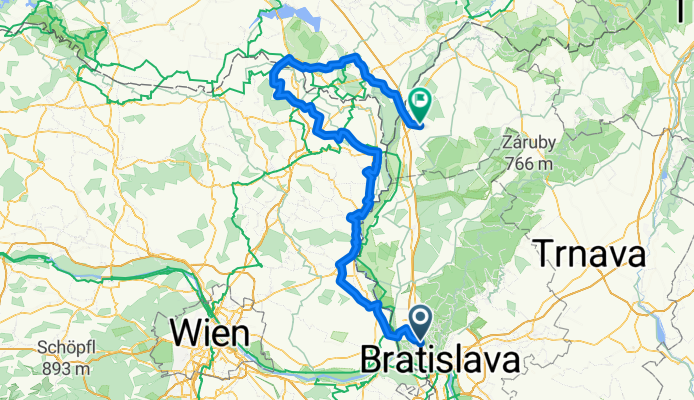
- Lamač - Kamp-Thaya-March Radroute - Mikulov - Lednice - Břeclav - Kúty
- 169.5 km
- 370 m
- 422 m
- Marianka, Bratislava Region, Slovakia


History and artists
Piestingtal Cycle PathBiking through beautiful Piesting valley you'll find the villa of poet Ferdinand Raimund, the birth place of painter Leopold Kupelwieser and the Biedermeier path, which offers interesting glimpses into the mood and trends of the formative historical period of 1815 to 1848. Starting at Markt Piesting just South of Vienna, the route leads west to the town of Gutenstein. Its idyllic riverside stretches and dense forest paths are ideal for a pleasurable bike tour.
Featured routes around Piestingtal Cycle Path


Water and wine
Danube Cycle PathThe Danube is the second longest river in Europe, spanning the continent from the Black Forest to the Black Sea. The breathtaking Danube Cycle Path directly follows its course. On its mostly flat stretch through Lower Austria, the route leads through meadow landscapes and vineyards and is very popular with families. Highlights in scenic Wachau are the legendary castle ruins of Dürnstein and a visit to a traditional Heurigen restaurant and winery.
Featured routes around the Danube Cycle Path in Lower Austria


Off the beaten path
Triesting-Gölsental Cycle PathThe Triesting-Gölsental (or Triestingau) cycle path runs parallel to the Thermal baths cycle route. In relative seclusion, it leads through the impressive natural scenery of southern Lower Austria. The 30 kilometers (19 miles) long paved route begins at Lanzendorf and takes you to the town of Schönau an der Triesting. The idyllic landscape is nicely off the beaten path but well situated for excursions to the surrounding wineries.
- Thermenlandradweg-Triestingauradweg-Schwechat-Liesingbachradweg-Thermenlandradweg

- 82.9 km
- 127 m
- 127 m
- Traiskirchen, Lower Austria, Austria


Bike pilgrimage to Mariazell
Traisental Cycle PathThe Traisental cycle path covers a distance of 111 kilometers (69 miles) from Traismauer via St. Pölten to the picturesque pilgrimage town of Mariazell in Styria. Also known as the pilgrim's cycle path, it starts at the Danube river and gently ascends on its way to the higher elevation of the Mostviertel Alpine region. Tip: If you are looking for a more comfortable ride, simply start in Mariazell and reverse the route!
Featured routes around Traisental Cycle Path


- Spring gravel with a hill.
- 28.3 km
- 241 m
- 301 m
- Gerasdorf bei Wien, Lower Austria, Austria
- Rec Ring Ring Semmering Gravel Mittel
- 39.3 km
- 1,425 m
- 1,427 m
- Semmering, Lower Austria, Austria
- Rec Ring Ring Semmering Gravel Variation von Bahnhof Gloggnitz
- 49 km
- 1,668 m
- 1,669 m
- Gloggnitz, Lower Austria, Austria
- Mödringer Straße nach Mödringer Straße
- 10.3 km
- 59 m
- 114 m
- Horn, Lower Austria, Austria
- Wiener Wasser afterwork. aka Monday riding.
- 36.1 km
- 118 m
- 186 m
- Gerasdorf bei Wien, Lower Austria, Austria
- sundowner afterwork edition.
- 18.2 km
- 43 m
- 91 m
- Langenzersdorf, Lower Austria, Austria
- Angern/March Bahnhof - graveln mit Aussicht - Mistelbach/Zaya Bahnhof
- 43.2 km
- 396 m
- 387 m
- Angern an der March, Lower Austria, Austria
- Saturday easy aka watching a windy spring day.
- 14.9 km
- 44 m
- 94 m
- Gerasdorf bei Wien, Lower Austria, Austria


- Hirtenberg181 cycling routes
- Enzersfeld90 cycling routes
- Stockerau363 cycling routes
- Gänserndorf279 cycling routes
- Ottenschlag89 cycling routes


