
Cycling in Kleinkirchheim
Discover a map of 476 cycling routes and bike trails near Kleinkirchheim, created by our community.
Region portrait
Get to know Kleinkirchheim
Find the right bike route for you through Kleinkirchheim, where we've got 476 cycle routes to explore. Most people get on their bikes to ride here in the months of July and August.
27,141 km
Tracked distance
476
Cycle routes
1,809
Population
Community
Most active users in Kleinkirchheim


From our community
The best bike routes in and around Kleinkirchheim

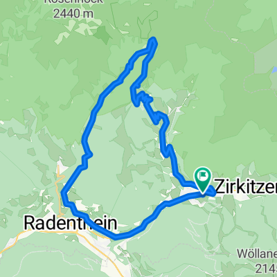
Bad Kleinkirchheim Runde
Cycling route in Kleinkirchheim, Carinthia, Austria
Eine nette MTB Runde mit dem Startpunkt Parkplatz Kaiserburgbahn.
Besonders hervorzuheben: Jede Menge Hütten für wichtige isotonische Getränke
- 34.4 km
- Distance
- 1,126 m
- Ascent
- 1,148 m
- Descent

Nockalmstrasse
Cycling route in Kleinkirchheim, Carinthia, Austria
- 33.1 km
- Distance
- 1,396 m
- Ascent
- 1,043 m
- Descent

Über St. Oswald und die Totelitzen auf die Fronalm
Cycling route in Kleinkirchheim, Carinthia, Austria
Anspruchsvolle Rundwanderung über den Südhang der Totelitzen entlang der Route 18 (rot-weiß-rot).
Hinweis: Die Markierung zwischen Totelitzenschutzhütte und Fronalmhütte ist zum Teil vollständig verblasst, der Pfad daher praktisch nicht zu erkennen. Trittsic
- 16.1 km
- Distance
- 1,166 m
- Ascent
- 1,168 m
- Descent

Rund-um-den-Kolmnock
Cycling route in Kleinkirchheim, Carinthia, Austria
Die Tour führt auf Forststraßen rund um den Kolmnock. Nach dem Start im Ortszentrum von Bach geht es hinauf Richtung Dragehütte und über den Höhenrücken nach Westen über den Strohsack (1902m). Dann über die Südseite hinunter zur Wegerhütte und
- 23.7 km
- Distance
- 1,032 m
- Ascent
- 1,032 m
- Descent
Discover more routes
 R3 ab Hotel 54km Osten-Süden 608HM
- Distance
- 55.3 km
- Ascent
- 741 m
- Descent
- 743 m
- Location
- Kleinkirchheim, Carinthia, Austria
 Gurkursprung-Tour
- Distance
- 27.8 km
- Ascent
- 1,030 m
- Descent
- 1,030 m
- Location
- Kleinkirchheim, Carinthia, Austria
 Mallnock- und Klommnockrunde
- Distance
- 13.8 km
- Ascent
- 1,170 m
- Descent
- 592 m
- Location
- Kleinkirchheim, Carinthia, Austria
 Alpe-Adria Trail 2-7
- Distance
- 14.4 km
- Ascent
- 1,066 m
- Descent
- 1,193 m
- Location
- Kleinkirchheim, Carinthia, Austria
 Genußrunde BKK
- Distance
- 28.7 km
- Ascent
- 1,986 m
- Descent
- 1,980 m
- Location
- Kleinkirchheim, Carinthia, Austria
 Patergassen - Nockalmstraße - Turrach - St.Lorenzen - Patergassen
- Distance
- 50.2 km
- Ascent
- 1,171 m
- Descent
- 1,171 m
- Location
- Kleinkirchheim, Carinthia, Austria
 14 st oswald
- Distance
- 32.1 km
- Ascent
- 1,068 m
- Descent
- 1,067 m
- Location
- Kleinkirchheim, Carinthia, Austria
 Nockalmstrasse-Bad Kleinkircheim
- Distance
- 105.4 km
- Ascent
- 2,030 m
- Descent
- 2,030 m
- Location
- Kleinkirchheim, Carinthia, Austria