
Cycling in Karrösten
Discover a map of 299 cycling routes and bike trails near Karrösten, created by our community.
Region portrait
Get to know Karrösten
Find the right bike route for you through Karrösten, where we've got 299 cycle routes to explore. Most people get on their bikes to ride here in the months of July and August.
24,675 km
Tracked distance
299
Cycle routes
Community
Most active users in Karrösten


Handpicked routes
Discover Karrösten through these collections
Tour
From our community
The best bike routes in and around Karrösten

ASCENSO A PITZAL (Mittelberg)
Cycling route in Karrösten, Tyrol, Austria
- 37.4 km
- Distance
- 1,462 m
- Ascent
- 461 m
- Descent

Haiminger_Alm(2)
Cycling route in Karrösten, Tyrol, Austria
- 35.6 km
- Distance
- 1,290 m
- Ascent
- 1,292 m
- Descent

Zur_Haiminger_Alm
Cycling route in Karrösten, Tyrol, Austria
- 44.8 km
- Distance
- 1,258 m
- Ascent
- 1,258 m
- Descent

Discover more routes
 Imst - Obervinschgau Track Original
- Distance
- 99.9 km
- Ascent
- 2,782 m
- Descent
- 2,581 m
- Location
- Karrösten, Tyrol, Austria
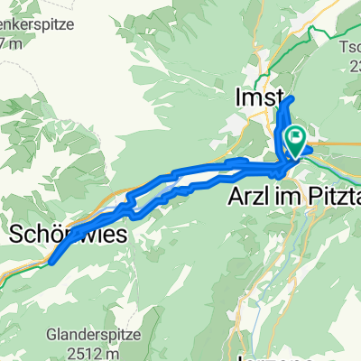
 Imst - Arzl
- Distance
- 65.2 km
- Ascent
- 200 m
- Descent
- 281 m
- Location
- Karrösten, Tyrol, Austria
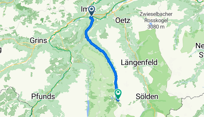
 Oetz 06 ab Bahnhof IMST 30KM 600HM
- Distance
- 30.9 km
- Ascent
- 847 m
- Descent
- 846 m
- Location
- Karrösten, Tyrol, Austria
 Tschirgant-Runde mit Grünberg
- Distance
- 63.4 km
- Ascent
- 1,300 m
- Descent
- 1,420 m
- Location
- Karrösten, Tyrol, Austria
 Hochimst um Imst
- Distance
- 27 km
- Ascent
- 678 m
- Descent
- 688 m
- Location
- Karrösten, Tyrol, Austria
 Tschirgant-Runde
- Distance
- 49.1 km
- Ascent
- 746 m
- Descent
- 753 m
- Location
- Karrösten, Tyrol, Austria
 Arzl nach Längenfeld
- Distance
- 79.2 km
- Ascent
- 856 m
- Descent
- 856 m
- Location
- Karrösten, Tyrol, Austria
 Latschenhütte Untermarkteralm Imst
- Distance
- 37.8 km
- Ascent
- 1,107 m
- Descent
- 1,106 m
- Location
- Karrösten, Tyrol, Austria