
Cycling in Blons
Discover a map of 12 cycling routes and bike trails near Blons, created by our community.
Region portrait
Get to know Blons
Find the right bike route for you through Blons, where we've got 12 cycle routes to explore.
641 km
Tracked distance
12
Cycle routes


From our community
The best bike routes in and around Blons

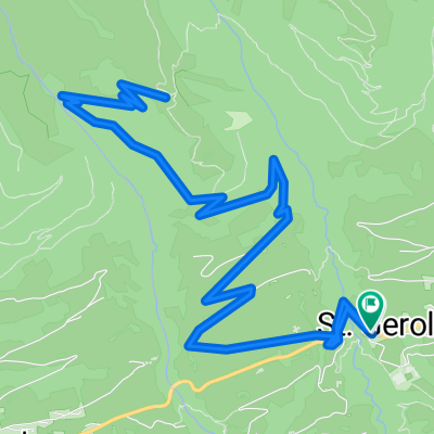
St.Gerold-Höchst
Cycling route in Blons, Vorarlberg, Austria
null
- 60.7 km
- Distance
- 1,202 m
- Ascent
- 1,720 m
- Descent

Furkajoch - Damüls - Riedbergpass - Oberstdorf
Cycling route in Blons, Vorarlberg, Austria
- 83.6 km
- Distance
- 1,207 m
- Ascent
- 1,939 m
- Descent

Rund um das Breithorn
Cycling route in Blons, Vorarlberg, Austria
- 29.4 km
- Distance
- 1,303 m
- Ascent
- 1,302 m
- Descent

Discover more routes
 Sankt Gerold nach Sankt-Anna-Straße 8b, Bludenz
- Distance
- 21.2 km
- Ascent
- 78 m
- Descent
- 868 m
- Location
- Blons, Vorarlberg, Austria
 blons
blons- Distance
- 219.4 km
- Ascent
- 4,397 m
- Descent
- 4,397 m
- Location
- Blons, Vorarlberg, Austria
 furkajoch sg
- Distance
- 51.8 km
- Ascent
- 888 m
- Descent
- 1,386 m
- Location
- Blons, Vorarlberg, Austria
 Rund um das Breithorn
- Distance
- 29.9 km
- Ascent
- 1,263 m
- Descent
- 1,264 m
- Location
- Blons, Vorarlberg, Austria
 Vom Furkajoch nach Oberstdorf
- Distance
- 80.9 km
- Ascent
- 1,135 m
- Descent
- 1,878 m
- Location
- Blons, Vorarlberg, Austria
 laterns
- Distance
- 21.5 km
- Ascent
- 128 m
- Descent
- 851 m
- Location
- Blons, Vorarlberg, Austria
 Sägabühel nach Sägabühel
- Distance
- 13.2 km
- Ascent
- 1,113 m
- Descent
- 1,123 m
- Location
- Blons, Vorarlberg, Austria
 L51 nach Diesenäuele 57, Koblach
- Distance
- 23.7 km
- Ascent
- 279 m
- Descent
- 1,055 m
- Location
- Blons, Vorarlberg, Austria