
Cycling in Biberwier
Discover a map of 227 cycling routes and bike trails near Biberwier, created by our community.
Region portrait
Get to know Biberwier
Find the right bike route for you through Biberwier, where we've got 227 cycle routes to explore. Most people get on their bikes to ride here in the months of July and August.
14,002 km
Tracked distance
227
Cycle routes
Community
Most active users in Biberwier


From our community
The best bike routes in and around Biberwier

Gipfeltour Sonnenspitze
Cycling route in Biberwier, Tyrol, Austria
- 4 km
- Distance
- 606 m
- Ascent
- 614 m
- Descent

z-B31EHR-Biberwier-3 Seen Runde
Cycling route in Biberwier, Tyrol, Austria
- 11.2 km
- Distance
- 357 m
- Ascent
- 357 m
- Descent


8. Etappe: Biberwier - Zams
Cycling route in Biberwier, Tyrol, Austria
- 59.3 km
- Distance
- 1,220 m
- Ascent
- 1,452 m
- Descent

MTB Fernpass - Megatrails
Cycling route in Biberwier, Tyrol, Austria
- 82 km
- Distance
- 3,542 m
- Ascent
- 3,543 m
- Descent
Discover more routes
 Biberwier "Otto"-Fernsteinsee
- Distance
- 11.7 km
- Ascent
- 361 m
- Descent
- 414 m
- Location
- Biberwier, Tyrol, Austria
 Loisach-Radweg
- Distance
- 135.2 km
- Ascent
- 811 m
- Descent
- 1,280 m
- Location
- Biberwier, Tyrol, Austria
 L71 64, Biberwier nach Malserstraße 31, Landeck
- Distance
- 54.4 km
- Ascent
- 651 m
- Descent
- 852 m
- Location
- Biberwier, Tyrol, Austria
 Alpencross 1.Etappe
- Distance
- 72.6 km
- Ascent
- 1,242 m
- Descent
- 795 m
- Location
- Biberwier, Tyrol, Austria
 Ö5Biberw-Garmisch-Ahornbogen (Eng)
- Distance
- 89.6 km
- Ascent
- 1,082 m
- Descent
- 875 m
- Location
- Biberwier, Tyrol, Austria
 E2: Biberwier - Zernez
- Distance
- 138.7 km
- Ascent
- 2,893 m
- Descent
- 2,461 m
- Location
- Biberwier, Tyrol, Austria
 Blidsee Trail and Barabara Steig Trail
- Distance
- 27.5 km
- Ascent
- 1,711 m
- Descent
- 1,711 m
- Location
- Biberwier, Tyrol, Austria
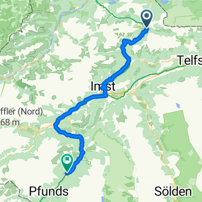 Biberwier - Serfaus
- Distance
- 76.6 km
- Ascent
- 1,703 m
- Descent
- 1,739 m
- Location
- Biberwier, Tyrol, Austria