
Cycling in Bärnkopf
Discover a map of 27 cycling routes and bike trails near Bärnkopf, created by our community.
Region portrait
Get to know Bärnkopf
Find the right bike route for you through Bärnkopf, where we've got 27 cycle routes to explore.
879 km
Tracked distance
27
Cycle routes

From our community
The best bike routes in and around Bärnkopf

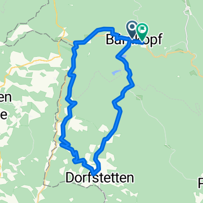
Bärnkopf Dürnbergstrecke
Cycling route in Bärnkopf, Lower Austria, Austria
Start bei der Einkehrstube Wackelstein in Bärnkopf, gegenüber Friedhof links abbiegen, ca. 4 km auf ehemaliger Bahntrasse<br />bis Annabild, ab hier steile Asphaltabfahrt ca. 3 km Autoverkehr, in Saggraben entlang dem Prinzbach, Forstschranken.<br />Ab hier stetiger Anstieg vorbei am Dürnbergteich bis Bärnkopf.
- 18.8 km
- Distance
- 294 m
- Ascent
- 294 m
- Descent

Dürnberg-Strecke MTB
Cycling route in Bärnkopf, Lower Austria, Austria
Quelle: https://www.waldviertel.at/a-duernberg-strecke
Mountainbiketour ausgehend von Bärnkopf, GH Wackelstein.
Bärnkopf – Annabild – Saggraben – Dürnberg – Bärnkopf.
Schwierigkeit: mittel
Strecke: 19,03 km
Aufstieg: 266 Hm
Abstieg: 266 Hm
Dauer: 1:30 h
Niedrigster Punkt: 721 m
Höchster Punkt: 976 m
- 19 km
- Distance
- 343 m
- Ascent
- 341 m
- Descent

Bärnkopf Ortsloipe
Cycling route in Bärnkopf, Lower Austria, Austria
Dies ist eine Loipe, die Ortsloipe Bärnkopf, Radfahren ist hier leider nicht möglich.
- 3.9 km
- Distance
- 88 m
- Ascent
- 89 m
- Descent

Kombitour 6 & 19 Variante B
Cycling route in Bärnkopf, Lower Austria, Austria
Wachtstein & Dürnberg-Strecke MTB
- 51.5 km
- Distance
- 1,131 m
- Ascent
- 1,132 m
- Descent
Discover more routes
 MTB - Teichrunde
- Distance
- 31.9 km
- Ascent
- 383 m
- Descent
- 383 m
- Location
- Bärnkopf, Lower Austria, Austria
 Duernbergstrecke - Luftkurort Bärnkopf
- Distance
- 17.5 km
- Ascent
- 361 m
- Descent
- 373 m
- Location
- Bärnkopf, Lower Austria, Austria
 Route in Bärnkopf
- Distance
- 24.5 km
- Ascent
- 919 m
- Descent
- 893 m
- Location
- Bärnkopf, Lower Austria, Austria
 Bärnkopf: Granittrail 3. Teiletappe
- Distance
- 45.4 km
- Ascent
- 638 m
- Descent
- 1,375 m
- Location
- Bärnkopf, Lower Austria, Austria
 Granittrail nr.3
- Distance
- 46.9 km
- Ascent
- 586 m
- Descent
- 1,324 m
- Location
- Bärnkopf, Lower Austria, Austria
 4W7-1 Weinsberger Wald - Ysperklamm
- Distance
- 20.3 km
- Ascent
- 667 m
- Descent
- 668 m
- Location
- Bärnkopf, Lower Austria, Austria
 Bärnkopf - Ysperklammstrecke
- Distance
- 30.6 km
- Ascent
- 680 m
- Descent
- 680 m
- Location
- Bärnkopf, Lower Austria, Austria
 PZF Zwettl -> Bärnkopf - Zwettl
- Distance
- 43.3 km
- Ascent
- 675 m
- Descent
- 1,037 m
- Location
- Bärnkopf, Lower Austria, Austria