
Cycling in Aichkirchen
Discover a map of 8 cycling routes and bike trails near Aichkirchen, created by our community.
Region portrait
Get to know Aichkirchen
Find the right bike route for you through Aichkirchen, where we've got 8 cycle routes to explore.
385 km
Tracked distance
8
Cycle routes
Community
Most active users in Aichkirchen
Handpicked routes
Discover Aichkirchen through these collections
Tour
From our community
The best bike routes in and around Aichkirchen
Test Aichkirchen
Cycling route in Aichkirchen, Upper Austria, Austria
- 44.7 km
- Distance
- 446 m
- Ascent
- 439 m
- Descent
Reiterrunde
Cycling route in Aichkirchen, Upper Austria, Austria
- 59.7 km
- Distance
- 469 m
- Ascent
- 506 m
- Descent
Proberunde
Cycling route in Aichkirchen, Upper Austria, Austria
- 17.2 km
- Distance
- 136 m
- Ascent
- 144 m
- Descent
Kaitingerstraße 2–6, Niederthalheim nach Antoniusweg 11, Niederthalheim
Cycling route in Aichkirchen, Upper Austria, Austria
- 11.4 km
- Distance
- 192 m
- Ascent
- 164 m
- Descent
Discover more routes
- Voggenberg-test
- Distance
- 85.6 km
- Ascent
- 1,032 m
- Descent
- 1,444 m
- Location
- Aichkirchen, Upper Austria, Austria
- Kematen Scharten Marchtrenk
- Distance
- 84.2 km
- Ascent
- 433 m
- Descent
- 433 m
- Location
- Aichkirchen, Upper Austria, Austria
- 1. Tag Ahornböden
- Distance
- 72.6 km
- Ascent
- 474 m
- Descent
- 354 m
- Location
- Aichkirchen, Upper Austria, Austria
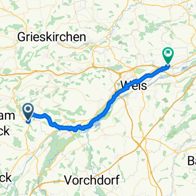
- Hauptstraße 45–49, Niederthalheim nach Rüstorf 47, Rüstorf
- Distance
- 9.9 km
- Ascent
- 41 m
- Descent
- 78 m
- Location
- Aichkirchen, Upper Austria, Austria