
Cycling in Winningen
Discover a map of 163 cycling routes and bike trails near Winningen, created by our community.
Region portrait
Get to know Winningen
Find the right bike route for you through Winningen, where we've got 163 cycle routes to explore. Most people get on their bikes to ride here in the months of June and July.
6,516 km
Tracked distance
163
Cycle routes
2,457
Population


Handpicked routes
Discover Winningen through these collections
Tour
From our community
The best bike routes in and around Winningen

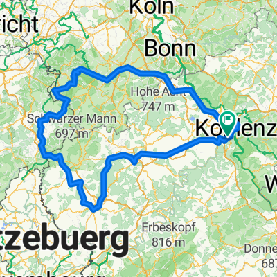
ER WinningenKoplenz
Cycling route in Winningen, Rhineland-Palatinate, Germany
- 14.4 km
- Distance
- 40 m
- Ascent
- 49 m
- Descent

Hexenpfad
Cycling route in Winningen, Rhineland-Palatinate, Germany
- 8.8 km
- Distance
- 352 m
- Ascent
- 352 m
- Descent


Am Moselufer 9, Winningen nach Am Moselufer 8–11, Winningen
Cycling route in Winningen, Rhineland-Palatinate, Germany
- 31.6 km
- Distance
- 176 m
- Ascent
- 179 m
- Descent

1993 - Mosel rauf - Nahe runter - 2. Tag - Winningen - Valwig
Cycling route in Winningen, Rhineland-Palatinate, Germany
- 44.2 km
- Distance
- 355 m
- Ascent
- 341 m
- Descent
Discover more routes
 Moezel
- Distance
- 122.7 km
- Ascent
- 574 m
- Descent
- 519 m
- Location
- Winningen, Rhineland-Palatinate, Germany
 Winningen - Koblentz HB
- Distance
- 12.3 km
- Ascent
- 49 m
- Descent
- 54 m
- Location
- Winningen, Rhineland-Palatinate, Germany
 Moselweinstraße, Koblenz nach Am Plan 1, Koblenz
- Distance
- 10.7 km
- Ascent
- 73 m
- Descent
- 28 m
- Location
- Winningen, Rhineland-Palatinate, Germany
 Niederfell 47 km Tour
- Distance
- 47.1 km
- Ascent
- 365 m
- Descent
- 367 m
- Location
- Winningen, Rhineland-Palatinate, Germany
 B416, Winningen to Koblenzer Straße 184–186, Koblenz
- Distance
- 18.1 km
- Ascent
- 172 m
- Descent
- 170 m
- Location
- Winningen, Rhineland-Palatinate, Germany
 Winningen nach Löf
- Distance
- 14.8 km
- Ascent
- 204 m
- Descent
- 208 m
- Location
- Winningen, Rhineland-Palatinate, Germany
 Eifel
Eifel- Distance
- 394.8 km
- Ascent
- 1,468 m
- Descent
- 1,472 m
- Location
- Winningen, Rhineland-Palatinate, Germany
 Mosel-Rhein-Nahe-Glan-Tour 2016
- Distance
- 281.5 km
- Ascent
- 358 m
- Descent
- 218 m
- Location
- Winningen, Rhineland-Palatinate, Germany
Routes to Winningen
Quick ride by bicycle from
Koblenz to Winningen