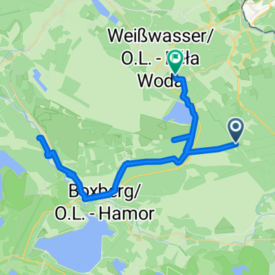
Görlitzer Straße, Weißkeißel nach Rietschen, Rietschen
- 9.9 km
- 36 m
- 19 m
- Weißkeißel, Saxony, Germany

Find the right bike route for you through Weißkeißel, where we've got 21 cycle routes to explore.
Tracked distance
Cycle routes
Population

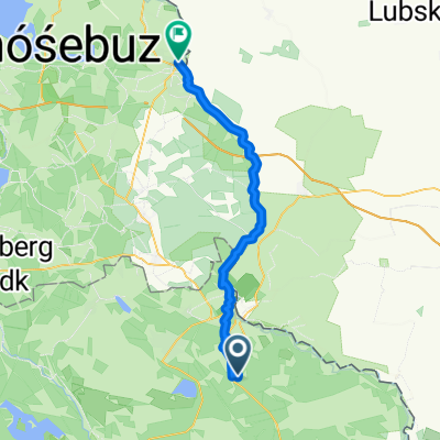
Cycling route in Weißkeißel, Saxony, Germany
Cycling route in Weißkeißel, Saxony, Germany
Cycling route in Weißkeißel, Saxony, Germany
Cycling route in Weißkeißel, Saxony, Germany