
Cycling in Wartenberg
Discover a map of 191 cycling routes and bike trails near Wartenberg, created by our community.
Region portrait
Get to know Wartenberg
Find the right bike route for you through Wartenberg, where we've got 191 cycle routes to explore. Most people get on their bikes to ride here in the months of June and July.
5,036 km
Tracked distance
191
Cycle routes
2,336
Population
Community
Most active users in Wartenberg


Handpicked routes
Discover Wartenberg through these collections
Tour
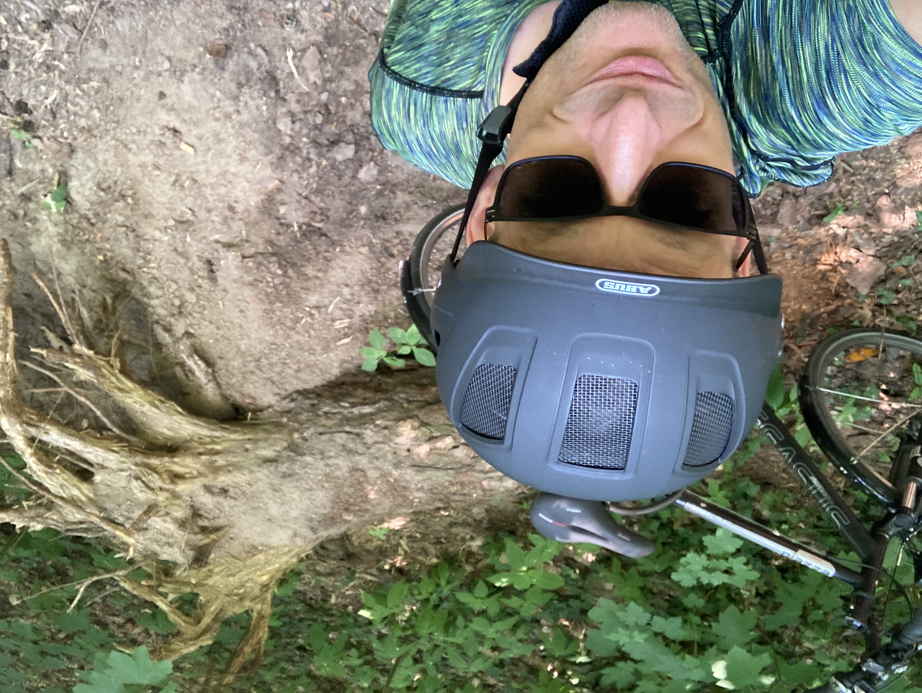
From our community
The best bike routes in and around Wartenberg

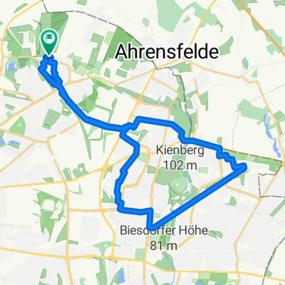
GPS Mügelseerunde
Cycling route in Wartenberg, State of Berlin, Germany
- 71.7 km
- Distance
- 78 m
- Ascent
- 81 m
- Descent

Bln HsH - Potsdam - Brandenburg a.d.H. 86,7 Km
Cycling route in Wartenberg, State of Berlin, Germany
- 86.8 km
- Distance
- 137 m
- Ascent
- 164 m
- Descent

Kusunoki´s Berlin-Erkner-Altlandsbergtour 80 Km
Cycling route in Wartenberg, State of Berlin, Germany
- 80.8 km
- Distance
- 104 m
- Ascent
- 106 m
- Descent

Hagenower Ring 32, Berlin nach Hagenower Ring 34, Berlin
Cycling route in Wartenberg, State of Berlin, Germany
- 34 km
- Distance
- 139 m
- Ascent
- 139 m
- Descent
Discover more routes
 Gerade Fahrt in Bernau bei Berlin
- Distance
- 57.7 km
- Ascent
- 395 m
- Descent
- 375 m
- Location
- Wartenberg, State of Berlin, Germany
 Ückeritzer Ring 31a, Berlin nach Ückeritzer Ring 31a, Berlin
- Distance
- 27.1 km
- Ascent
- 84 m
- Descent
- 87 m
- Location
- Wartenberg, State of Berlin, Germany
 Schweriner Ring 38, Berlin nach Schweriner Ring 38, Berlin
- Distance
- 37 km
- Ascent
- 129 m
- Descent
- 126 m
- Location
- Wartenberg, State of Berlin, Germany
 Zu Kühne
- Distance
- 11.1 km
- Ascent
- 85 m
- Descent
- 98 m
- Location
- Wartenberg, State of Berlin, Germany
 Berlin HSH - Bernau - Eberswalde - Bad Freienwalde - Wriezen - Strausberg - Alt Landsberg - Bln HSH 135 Km
- Distance
- 134.6 km
- Ascent
- 303 m
- Descent
- 303 m
- Location
- Wartenberg, State of Berlin, Germany
 Exploring Malchower See
- Distance
- 8.4 km
- Ascent
- 20 m
- Descent
- 24 m
- Location
- Wartenberg, State of Berlin, Germany
 Hagenower Ring 32, Berlin nach Martha-Arendsee-Straße 15, Berlin
- Distance
- 6.7 km
- Ascent
- 20 m
- Descent
- 25 m
- Location
- Wartenberg, State of Berlin, Germany
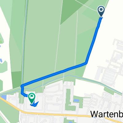 Pappelweg, Berlin nach Hagenower Ring 32, Berlin
- Distance
- 1.6 km
- Ascent
- 7 m
- Descent
- 12 m
- Location
- Wartenberg, State of Berlin, Germany