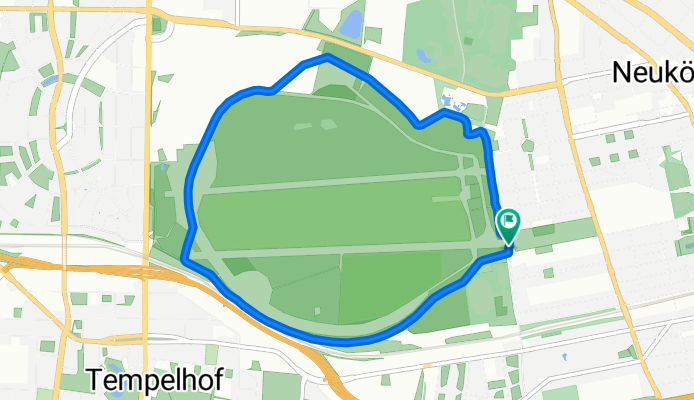
Cycling in Tempelhof
Discover a map of 1,754 cycling routes and bike trails near Tempelhof, created by our community.
Region portrait
Get to know Tempelhof
Find the right bike route for you through Tempelhof, where we've got 1,754 cycle routes to explore. Most people get on their bikes to ride here in the months of June and July.
60,450 km
Tracked distance
1,754
Cycle routes
56,669
Population
Community
Most active users in Tempelhof
Handpicked routes
Discover Tempelhof through these collections
Tour
From our community
The best bike routes in and around Tempelhof
Berlin Runde (ein bisschen Mauerweg)
Cycling route in Tempelhof, State of Berlin, Germany
- 42.2 km
- Distance
- 115 m
- Ascent
- 114 m
- Descent
Berlin(THF)-Grünau-Erkner und zurück
Cycling route in Tempelhof, State of Berlin, Germany
- 75.6 km
- Distance
- 88 m
- Ascent
- 88 m
- Descent
Tempelhof-Süd Rundkurs
Cycling route in Tempelhof, State of Berlin, Germany
- 52.4 km
- Distance
- 100 m
- Ascent
- 103 m
- Descent
Discover more routes
 Mariendorfer Weg 21, Berlin nach Mariendorfer Weg 21, Berlin
- Distance
- 26.2 km
- Ascent
- 110 m
- Descent
- 135 m
- Location
- Tempelhof, State of Berlin, Germany
 Südost-Rollerrunde von/ab Neukölln mit Schlenker über Draisinenbahnhof Mellensee
- Distance
- 100.9 km
- Ascent
- 130 m
- Descent
- 130 m
- Location
- Tempelhof, State of Berlin, Germany
 Mariendorfer Weg 21, Berlin nach Mariendorfer Weg 21, Berlin
- Distance
- 12.1 km
- Ascent
- 89 m
- Descent
- 82 m
- Location
- Tempelhof, State of Berlin, Germany
 Berlin(THF)-Grünau-Erkner und zurück
- Distance
- 75.5 km
- Ascent
- 107 m
- Descent
- 121 m
- Location
- Tempelhof, State of Berlin, Germany
 Ostspaß?
- Distance
- 71.8 km
- Ascent
- 129 m
- Descent
- 129 m
- Location
- Tempelhof, State of Berlin, Germany
 Südrunde THF - SXF - Lankwitz - Südkreuz
- Distance
- 55.6 km
- Ascent
- 75 m
- Descent
- 83 m
- Location
- Tempelhof, State of Berlin, Germany
 Sonntagabendrunde
- Distance
- 47.4 km
- Ascent
- 51 m
- Descent
- 51 m
- Location
- Tempelhof, State of Berlin, Germany
 Tempelhof-Süd Rundkurs
- Distance
- 55.3 km
- Ascent
- 90 m
- Descent
- 90 m
- Location
- Tempelhof, State of Berlin, Germany
Routes from Tempelhof
Quick ride by bicycle from
Tempelhof to Mariendorf
Quick ride by bicycle from
Tempelhof to Kreuzberg
Routes to Tempelhof
Quick ride by bicycle from
Berlin Schöneberg to Tempelhof
Quick ride by bicycle from
Tiergarten to Tempelhof


