
Cycling in Tegernheim
Discover a map of 176 cycling routes and bike trails near Tegernheim, created by our community.
Region portrait
Get to know Tegernheim
Find the right bike route for you through Tegernheim, where we've got 176 cycle routes to explore. Most people get on their bikes to ride here in the months of June and July.
9,163 km
Tracked distance
176
Cycle routes
4,439
Population
Community
Most active users in Tegernheim


From our community
The best bike routes in and around Tegernheim
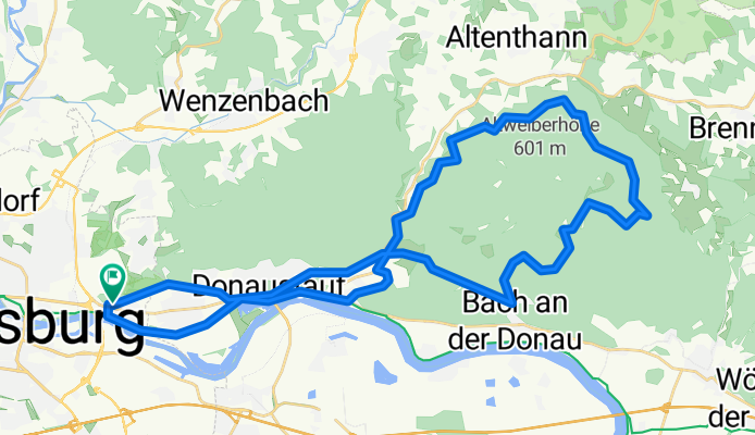
Einführungstour mit Andi Böhm - Vatertag 2018
Cycling route in Tegernheim, Bavaria, Germany
- 44.6 km
- Distance
- 531 m
- Ascent
- 528 m
- Descent


Gemütliche Route nach Roding
Cycling route in Tegernheim, Bavaria, Germany
- 46.4 km
- Distance
- 802 m
- Ascent
- 774 m
- Descent

Day8 Passau
Cycling route in Tegernheim, Bavaria, Germany
Day7 Hotel to Day8 Hotel (Pension Vicus)
<div class="msinfotitle" dir="ltr"><span>Johann-Bergler-Straße 2</span><br /><span>94032 Passau, Deutschland</span><br /><span>0851 93105-0</span></div>
- 119.2 km
- Distance
- 121 m
- Ascent
- 149 m
- Descent

Höhenmeter Trainingsrunde
Cycling route in Tegernheim, Bavaria, Germany
Schöne Trainingsrunde mit einigen Höhenmeternn
- 29 km
- Distance
- 568 m
- Ascent
- 568 m
- Descent
Discover more routes
 Betriebsausflug 2023 - Radltour
- Distance
- 39.7 km
- Ascent
- 319 m
- Descent
- 318 m
- Location
- Tegernheim, Bavaria, Germany
 Teilstücke entlang hoher Linie / Wildgehege
- Distance
- 50.5 km
- Ascent
- 679 m
- Descent
- 679 m
- Location
- Tegernheim, Bavaria, Germany
 200812_Erste_Wintertrainingsrunde
- Distance
- 22.2 km
- Ascent
- 276 m
- Descent
- 275 m
- Location
- Tegernheim, Bavaria, Germany
 Sonntagsrunde
- Distance
- 60.3 km
- Ascent
- 814 m
- Descent
- 815 m
- Location
- Tegernheim, Bavaria, Germany
 RT - Schwabelweis - Regenstauf
- Distance
- 34.3 km
- Ascent
- 320 m
- Descent
- 318 m
- Location
- Tegernheim, Bavaria, Germany
 iller - Donautal 7. tag
- Distance
- 7.6 km
- Ascent
- 26 m
- Descent
- 18 m
- Location
- Tegernheim, Bavaria, Germany
 04_Regensburg_Pfraundorf
- Distance
- 84.3 km
- Ascent
- 259 m
- Descent
- 219 m
- Location
- Tegernheim, Bavaria, Germany
 Walhallatour
- Distance
- 22 km
- Ascent
- 640 m
- Descent
- 642 m
- Location
- Tegernheim, Bavaria, Germany