
Cycling in Steinsfeld
Discover a map of 31 cycling routes and bike trails near Steinsfeld, created by our community.
Region portrait
Get to know Steinsfeld
Find the right bike route for you through Steinsfeld, where we've got 31 cycle routes to explore. Most people get on their bikes to ride here in the month of May.
2,149 km
Tracked distance
31
Cycle routes
1,308
Population
Community
Most active users in Steinsfeld


From our community
The best bike routes in and around Steinsfeld

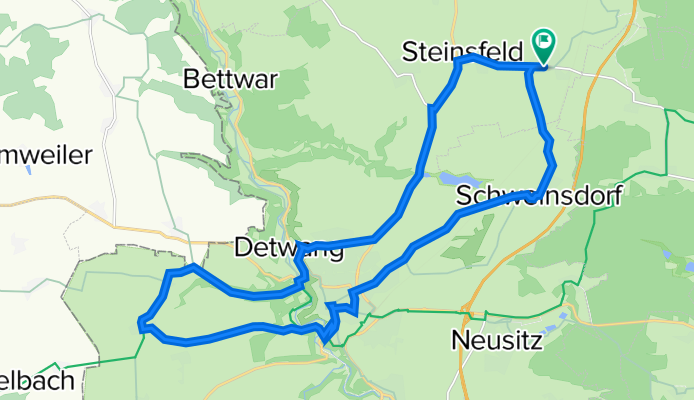
kleiner rundweg Rothenburg ob der Tauber
Cycling route in Steinsfeld, Bavaria, Germany
- 25.4 km
- Distance
- 183 m
- Ascent
- 183 m
- Descent
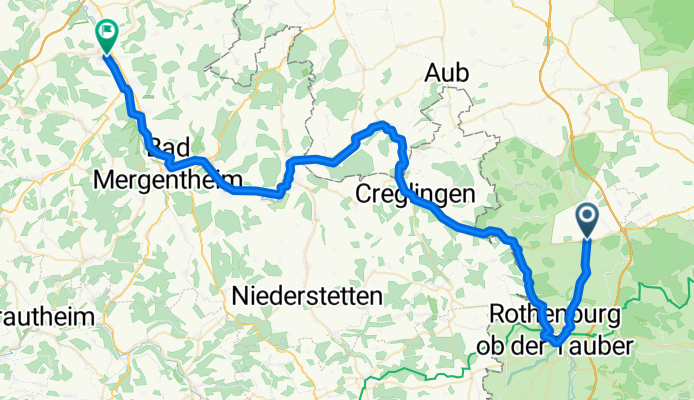
Tauber lang
Cycling route in Steinsfeld, Bavaria, Germany
Landwehrbräu über Rothenburg ob der Tauber zum Bahnhof Lauda
- 69.1 km
- Distance
- 143 m
- Ascent
- 374 m
- Descent

Discover more routes
 Tauber kurz
- Distance
- 56.8 km
- Ascent
- 154 m
- Descent
- 380 m
- Location
- Steinsfeld, Bavaria, Germany
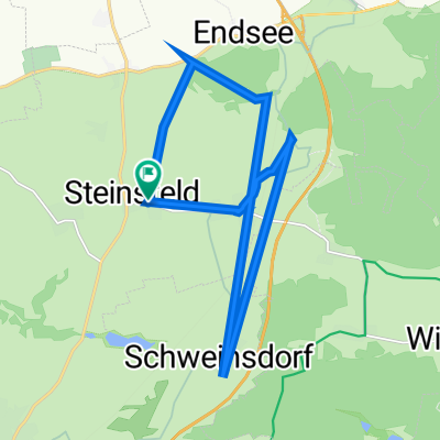
 Schweinsdorf-Steinbachtal-Rothenburg
- Distance
- 10.7 km
- Ascent
- 182 m
- Descent
- 147 m
- Location
- Steinsfeld, Bavaria, Germany
 Dorfstraße 20, Steinsfeld nach Am Ruhbach 2, Steinsfeld
- Distance
- 16 km
- Ascent
- 13 m
- Descent
- 49 m
- Location
- Steinsfeld, Bavaria, Germany
 Taubertal/Rothenburg ob der Tauber
- Distance
- 29.2 km
- Ascent
- 954 m
- Descent
- 954 m
- Location
- Steinsfeld, Bavaria, Germany
 Altmühl Tag 1 leicht
- Distance
- 43.1 km
- Ascent
- 252 m
- Descent
- 248 m
- Location
- Steinsfeld, Bavaria, Germany
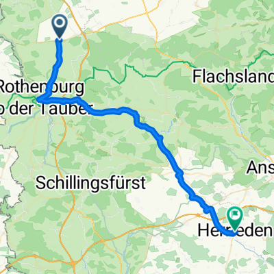
 Steinsfeld - Herrieden
- Distance
- 49.3 km
- Ascent
- 372 m
- Descent
- 350 m
- Location
- Steinsfeld, Bavaria, Germany
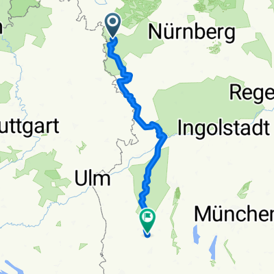 steinsfeld - bad wörishofen
- Distance
- 250.7 km
- Ascent
- 659 m
- Descent
- 433 m
- Location
- Steinsfeld, Bavaria, Germany
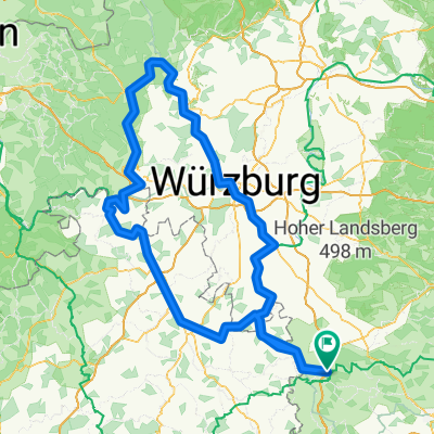 Main Tour
- Distance
- 268.3 km
- Ascent
- 399 m
- Descent
- 396 m
- Location
- Steinsfeld, Bavaria, Germany