


Cycling in Staudach-Egerndach
Discover a map of 86 cycling routes and bike trails near Staudach-Egerndach, created by our community.
Region portrait
Get to know Staudach-Egerndach
Find the right bike route for you through Staudach-Egerndach, where we've got 86 cycle routes to explore. Most people get on their bikes to ride here in the months of July and August.
5,216 km
Tracked distance
86
Cycle routes
1,172
Population
Community
Most active users in Staudach-Egerndach
Handpicked routes
Discover Staudach-Egerndach through these collections
- Tour
From our community
The best bike routes in and around Staudach-Egerndach
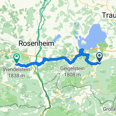
Staudach-Egerndach - Schönau am Königssee
Cycling route in Staudach-Egerndach, Bavaria, Germany
- 69.4 km
- Distance
- 1,100 m
- Ascent
- 1,059 m
- Descent
Staudach-Egerndach - Salzburg
Cycling route in Staudach-Egerndach, Bavaria, Germany
- 54.8 km
- Distance
- 641 m
- Ascent
- 751 m
- Descent
Staudach-Egerndach - Salzburg
Cycling route in Staudach-Egerndach, Bavaria, Germany
- 55 km
- Distance
- 669 m
- Ascent
- 777 m
- Descent
Staudach-Egerndach - Aying
Cycling route in Staudach-Egerndach, Bavaria, Germany
- 73.4 km
- Distance
- 611 m
- Ascent
- 523 m
- Descent
Discover more routes
- All routes in Staudach-Egerndach
- Round trips
- Relaxed
- Gravel
- Road
- MTB
- Trekking


 BR08: Staudach-Egerndach - Hundham; 70,3km 680hm0
- 70.3 km
- 797 m
- 598 m
- Staudach-Egerndach, Bavaria, Germany


