
Cycling in Schorndorf
Discover a map of 503 cycling routes and bike trails near Schorndorf, created by our community.
Region portrait
Get to know Schorndorf
Find the right bike route for you through Schorndorf, where we've got 503 cycle routes to explore. Most people get on their bikes to ride here in the months of April and June.
30,307 km
Tracked distance
503
Cycle routes
39,697
Population
Community
Most active users in Schorndorf

Handpicked routes
Discover Schorndorf through these collections
Tour
From our community
The best bike routes in and around Schorndorf

Rund um Schorndorf
Cycling route in Schorndorf, Baden-Wurttemberg, Germany
- 54.2 km
- Distance
- 948 m
- Ascent
- 976 m
- Descent
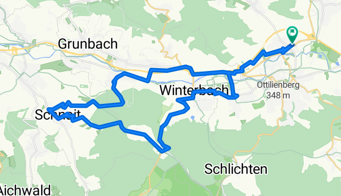
Schdf-Schnait-Weinstadt-Schdf
Cycling route in Schorndorf, Baden-Wurttemberg, Germany
- 30.8 km
- Distance
- 450 m
- Ascent
- 453 m
- Descent

Schdf-Schlbach-Lindental-Buhlbronn-Schdf
Cycling route in Schorndorf, Baden-Wurttemberg, Germany
- 24.2 km
- Distance
- 282 m
- Ascent
- 282 m
- Descent

Schdf-Buoch-Kleinheppach-Rems-Schdf
Cycling route in Schorndorf, Baden-Wurttemberg, Germany
- 32.9 km
- Distance
- 354 m
- Ascent
- 353 m
- Descent
Discover more routes
 Schorndorf-Bärensee
- Distance
- 34.3 km
- Ascent
- 738 m
- Descent
- 601 m
- Location
- Schorndorf, Baden-Wurttemberg, Germany
 Von Schorndorf bis Stuttgart
- Distance
- 46.4 km
- Ascent
- 235 m
- Descent
- 252 m
- Location
- Schorndorf, Baden-Wurttemberg, Germany
 Naturparktour
- Distance
- 50.3 km
- Ascent
- 786 m
- Descent
- 642 m
- Location
- Schorndorf, Baden-Wurttemberg, Germany
 Schorndorf - Winnenden
- Distance
- 24.5 km
- Ascent
- 155 m
- Descent
- 120 m
- Location
- Schorndorf, Baden-Wurttemberg, Germany
 Schorndorf-Berglen-Gmünd
- Distance
- 80.9 km
- Ascent
- 884 m
- Descent
- 883 m
- Location
- Schorndorf, Baden-Wurttemberg, Germany
 Schorndorf - Trinkwasser - Schönbühl
- Distance
- 32.5 km
- Ascent
- 475 m
- Descent
- 476 m
- Location
- Schorndorf, Baden-Wurttemberg, Germany
 Königliche Jagd
- Distance
- 35 km
- Ascent
- 501 m
- Descent
- 502 m
- Location
- Schorndorf, Baden-Wurttemberg, Germany
 Schorndorf-Tübingen über die Alb
- Distance
- 123.1 km
- Ascent
- 2,945 m
- Descent
- 2,818 m
- Location
- Schorndorf, Baden-Wurttemberg, Germany