
Cycling in Ruthweiler
Discover a map of 14 cycling routes and bike trails near Ruthweiler, created by our community.
Region portrait
Get to know Ruthweiler
Find the right bike route for you through Ruthweiler, where we've got 14 cycle routes to explore.
655 km
Tracked distance
14
Cycle routes
537
Population
Community
Most active users in Ruthweiler


From our community
The best bike routes in and around Ruthweiler
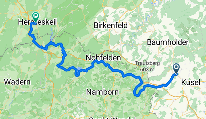
0619Ma: Thallichtenberg-Hermeskeil
Cycling route in Ruthweiler, Rhineland-Palatinate, Germany
A:
E:
JH Hermeskeil
Adolf Kolping Str. 4
Hermeskeil
L/O € 55,00 HP € 72,00
- 64.5 km
- Distance
- 724 m
- Ascent
- 579 m
- Descent
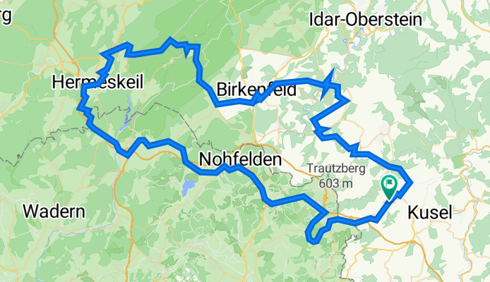
Hermeskeil - Saarlandrunde II
Cycling route in Ruthweiler, Rhineland-Palatinate, Germany
- 117.6 km
- Distance
- 1,980 m
- Ascent
- 1,981 m
- Descent
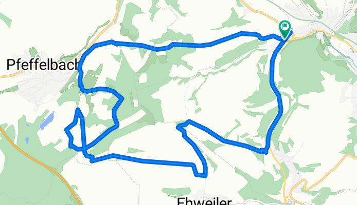
Dua Kusel
Cycling route in Ruthweiler, Rhineland-Palatinate, Germany
- 14.3 km
- Distance
- 351 m
- Ascent
- 350 m
- Descent
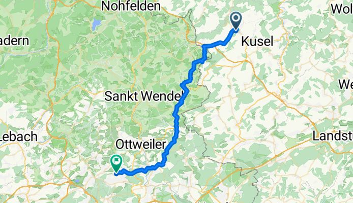
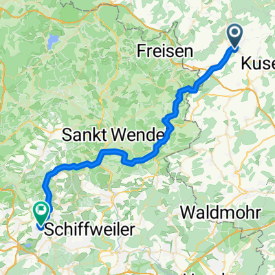
Von Thallichtenberg bis Schiffweiler
Cycling route in Ruthweiler, Rhineland-Palatinate, Germany
- 39.7 km
- Distance
- 741 m
- Ascent
- 789 m
- Descent
Discover more routes
 3.tag Burgstraße nach Schulstraße
- Distance
- 42.9 km
- Ascent
- 778 m
- Descent
- 847 m
- Location
- Ruthweiler, Rhineland-Palatinate, Germany
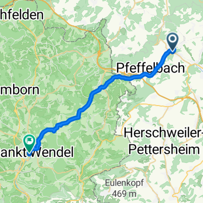 Thallichtenberg - St. Wendel
- Distance
- 21.8 km
- Ascent
- 428 m
- Descent
- 527 m
- Location
- Ruthweiler, Rhineland-Palatinate, Germany
 Kusel Teamduathlon
- Distance
- 13.9 km
- Ascent
- 324 m
- Descent
- 324 m
- Location
- Ruthweiler, Rhineland-Palatinate, Germany
 Ruthweiler Radfahren
- Distance
- 93.2 km
- Ascent
- 391 m
- Descent
- 451 m
- Location
- Ruthweiler, Rhineland-Palatinate, Germany
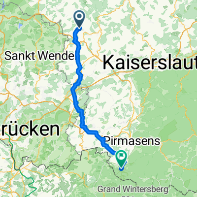 JHB Tallichtenberg nach Eppenbrunn
- Distance
- 73.4 km
- Ascent
- 701 m
- Descent
- 800 m
- Location
- Ruthweiler, Rhineland-Palatinate, Germany
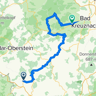
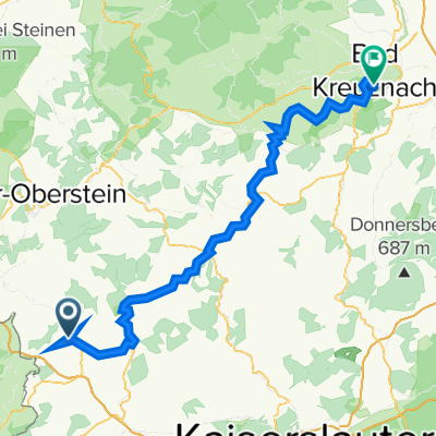 Burgstraße 14, Thallichtenberg nach Soonblick 2–8, Bad Kreuznach
- Distance
- 76.8 km
- Ascent
- 820 m
- Descent
- 944 m
- Location
- Ruthweiler, Rhineland-Palatinate, Germany
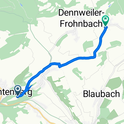
 Trierer Straße 167, Kusel nach Am Mehlbörnchen 8, Freisen
- Distance
- 12.8 km
- Ascent
- 249 m
- Descent
- 92 m
- Location
- Ruthweiler, Rhineland-Palatinate, Germany
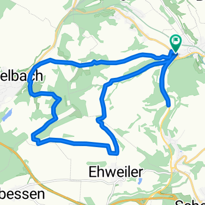
 Thallichtenberg nach Gehöllweg 7A, Oberalben
- Distance
- 4.5 km
- Ascent
- 59 m
- Descent
- 137 m
- Location
- Ruthweiler, Rhineland-Palatinate, Germany