
Cycling in Rhodt unter Rietburg
Discover a map of 117 cycling routes and bike trails near Rhodt unter Rietburg, created by our community.
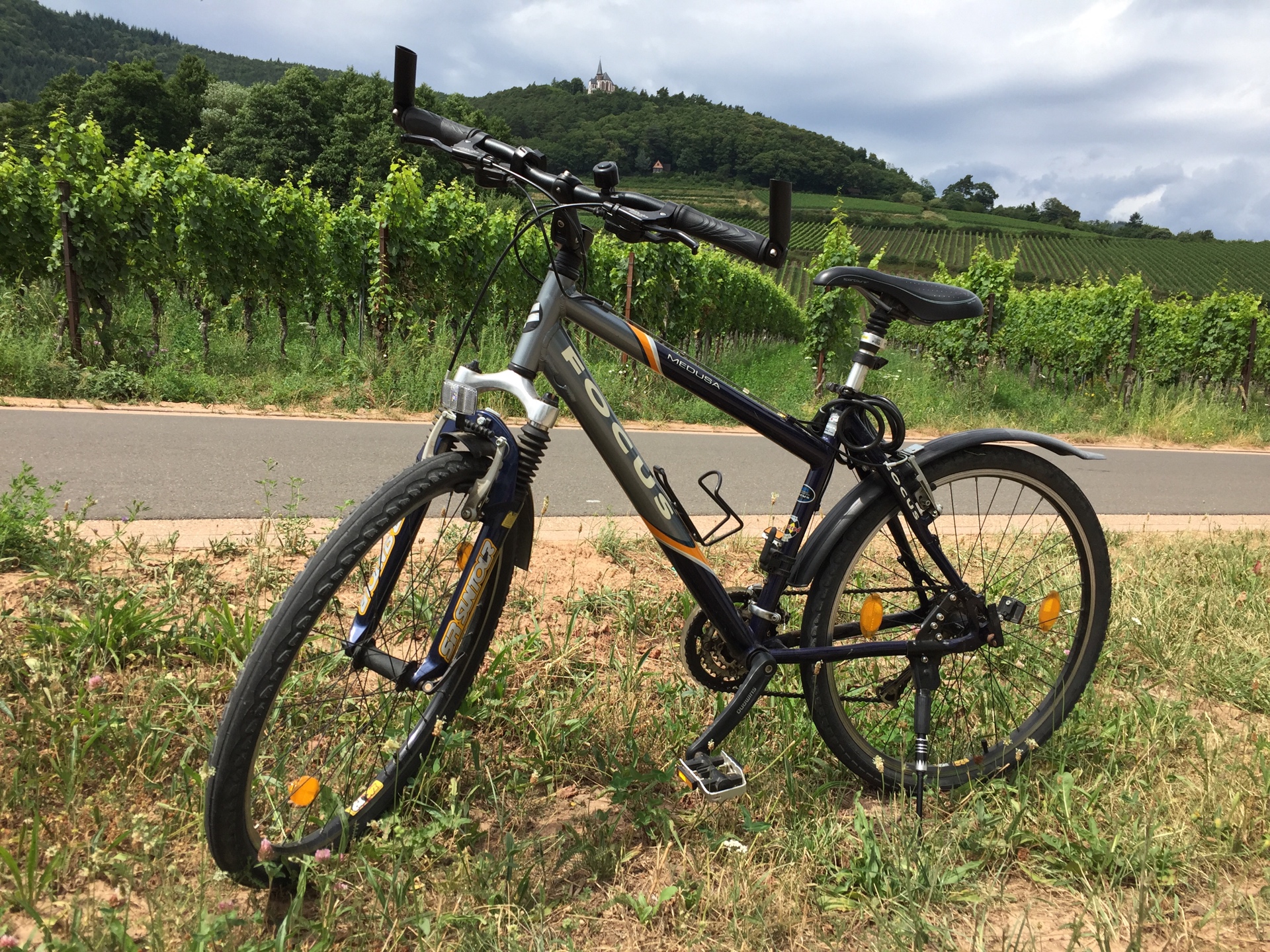
Region portrait
Get to know Rhodt unter Rietburg
Find the right bike route for you through Rhodt unter Rietburg, where we've got 117 cycle routes to explore. Most people get on their bikes to ride here in the months of May and July.
5,947 km
Tracked distance
117
Cycle routes
1,088
Population
Community
Most active users in Rhodt unter Rietburg


From our community
The best bike routes in and around Rhodt unter Rietburg

Rhodt - Taubensuhl - Helmbach - Rhodt
Cycling route in Rhodt unter Rietburg, Rhineland-Palatinate, Germany
Je mehr du hier schreibst, desto hilfreicher ist es für andere User.<br /><br />* Verlauf der Strecke.<br />* Warum gefällt dir diese Route?<br />* Warum empfiehlst du sie?<br />* Was sind die Highlights?<br />* usw.
- 52.9 km
- Distance
- 831 m
- Ascent
- 831 m
- Descent


Radtour Rhodt Gleisweiler
Cycling route in Rhodt unter Rietburg, Rhineland-Palatinate, Germany
Radtour Rhodt-Weyher-Burrweiler-Gleisweiler-Hainfeld-Rhodt
- 15.2 km
- Distance
- 174 m
- Ascent
- 172 m
- Descent

Herbert-Heußler-Straße 5, Rhodt unter Rietburg to Weyherer Straße 4, Rhodt unter Rietburg
Cycling route in Rhodt unter Rietburg, Rhineland-Palatinate, Germany
- 60.2 km
- Distance
- 160 m
- Ascent
- 160 m
- Descent

VS Mosbach
Cycling route in Rhodt unter Rietburg, Rhineland-Palatinate, Germany
- 97.3 km
- Distance
- 555 m
- Ascent
- 622 m
- Descent
Discover more routes
 Rhodt unter Rietburg
- Distance
- 60.2 km
- Ascent
- 222 m
- Descent
- 224 m
- Location
- Rhodt unter Rietburg, Rhineland-Palatinate, Germany
 Schnelle Radrunde durch Rhodt unter Rietburg
- Distance
- 7.4 km
- Ascent
- 159 m
- Descent
- 158 m
- Location
- Rhodt unter Rietburg, Rhineland-Palatinate, Germany
 tr-rhodt
- Distance
- 18.3 km
- Ascent
- 312 m
- Descent
- 330 m
- Location
- Rhodt unter Rietburg, Rhineland-Palatinate, Germany
 Modenbacherhof
- Distance
- 19.3 km
- Ascent
- 461 m
- Descent
- 465 m
- Location
- Rhodt unter Rietburg, Rhineland-Palatinate, Germany
 Göcklinger Tour
- Distance
- 52.9 km
- Ascent
- 366 m
- Descent
- 366 m
- Location
- Rhodt unter Rietburg, Rhineland-Palatinate, Germany
 Steigerkopfrunde 19 Km
- Distance
- 18.6 km
- Ascent
- 456 m
- Descent
- 458 m
- Location
- Rhodt unter Rietburg, Rhineland-Palatinate, Germany
 Pfalz 87_1370 Kalmit, Totenkopfstraße, Ramberg
- Distance
- 86.8 km
- Ascent
- 1,161 m
- Descent
- 1,162 m
- Location
- Rhodt unter Rietburg, Rhineland-Palatinate, Germany
 rhodt speyer
- Distance
- 27.5 km
- Ascent
- 25 m
- Descent
- 126 m
- Location
- Rhodt unter Rietburg, Rhineland-Palatinate, Germany