
Cycling in Reichenwalde
Discover a map of 36 cycling routes and bike trails near Reichenwalde, created by our community.
Region portrait
Get to know Reichenwalde
Find the right bike route for you through Reichenwalde, where we've got 36 cycle routes to explore. Most people get on their bikes to ride here in the month of August.
1,794 km
Tracked distance
36
Cycle routes
1,123
Population
Community
Most active users in Reichenwalde


From our community
The best bike routes in and around Reichenwalde

Schamützelsee
Cycling route in Reichenwalde, Brandenburg, Germany
- 36.1 km
- Distance
- 97 m
- Ascent
- 105 m
- Descent

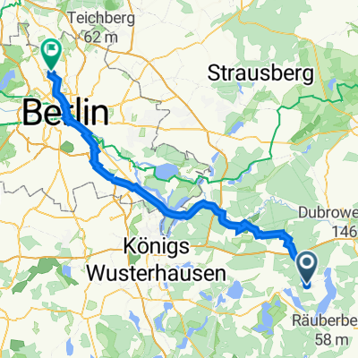
14-Sommer19: Kolpin - Berlin
Cycling route in Reichenwalde, Brandenburg, Germany
- 58.7 km
- Distance
- 114 m
- Ascent
- 104 m
- Descent

Campingplatz Dahmsdorf - Friedrichshain
Cycling route in Reichenwalde, Brandenburg, Germany
Vom Campingplatz Dahmsdorf auf dem Oder-Spree-Radweg in Richtung Erkner und von dort auf den D3-Radweg bis nach Rummelsburg und von dort nach Friedrichshain.
- 76.6 km
- Distance
- 141 m
- Ascent
- 149 m
- Descent

Kolpiner Straße 13, Reichenwalde nach Hauptstraße 64, Golzow
Cycling route in Reichenwalde, Brandenburg, Germany
- 61.3 km
- Distance
- 160 m
- Ascent
- 220 m
- Descent
Discover more routes
 Storkow-03
- Distance
- 63.3 km
- Ascent
- 395 m
- Descent
- 393 m
- Location
- Reichenwalde, Brandenburg, Germany
 RW
RW- Distance
- 4 km
- Ascent
- 16 m
- Descent
- 32 m
- Location
- Reichenwalde, Brandenburg, Germany
 Storkower Straße 2, Reichenwalde nach Garibaldistraße 27, Berlin
- Distance
- 73 km
- Ascent
- 218 m
- Descent
- 241 m
- Location
- Reichenwalde, Brandenburg, Germany
 Storkower Weg 10, Reichenwalde nach Janitzkystraße 18, Berlin
- Distance
- 54.9 km
- Ascent
- 79 m
- Descent
- 88 m
- Location
- Reichenwalde, Brandenburg, Germany
 halbe
halbe- Distance
- 40.9 km
- Ascent
- 273 m
- Descent
- 308 m
- Location
- Reichenwalde, Brandenburg, Germany
 Kolpiner Straße 13, Reichenwalde nach Tiergartenstraße 1, Königs Wusterhausen
- Distance
- 29.5 km
- Ascent
- 94 m
- Descent
- 126 m
- Location
- Reichenwalde, Brandenburg, Germany
 Recovered Route
- Distance
- 145 km
- Ascent
- 516 m
- Descent
- 521 m
- Location
- Reichenwalde, Brandenburg, Germany
 Kolpiner Straße 13, Reichenwalde nach Karl-Marx-Straße 71, Küstriner Vorland
- Distance
- 66.1 km
- Ascent
- 221 m
- Descent
- 275 m
- Location
- Reichenwalde, Brandenburg, Germany