


Cycling in Plaidt
Discover a map of 141 cycling routes and bike trails near Plaidt, created by our community.
Region portrait
Get to know Plaidt
Find the right bike route for you through Plaidt, where we've got 141 cycle routes to explore. Most people get on their bikes to ride here in the months of June and July.
5,480 km
Tracked distance
141
Cycle routes
5,797
Population
Community
Most active users in Plaidt
From our community
The best bike routes in and around Plaidt
Boppard - Dattenberg
Cycling route in Plaidt, Rhineland-Palatinate, Germany
- 84 km
- Distance
- 707 m
- Ascent
- 574 m
- Descent
Trainigsrunde nach getaner Arbeit CLONED FROM ROUTE 553433
Cycling route in Plaidt, Rhineland-Palatinate, Germany
- 27.9 km
- Distance
- 419 m
- Ascent
- 419 m
- Descent
Im Mühlstück 21, Andernach nach Auf den Heseln 11, Ochtendung
Cycling route in Plaidt, Rhineland-Palatinate, Germany
- 6.5 km
- Distance
- 87 m
- Ascent
- 35 m
- Descent
kleine Pellenz-Maifeld-Runde
Cycling route in Plaidt, Rhineland-Palatinate, Germany
- 29.2 km
- Distance
- 292 m
- Ascent
- 292 m
- Descent
Discover more routes
- All routes in Plaidt
- Round trips
- Relaxed
- Gravel
- Road
- MTB
- Trekking


 Alter Kirchplatz 5, Plaidt to Am Autobahnkreuz 4, Kobern-Gondorf0
- 12.7 km
- 231 m
- 119 m
- Plaidt, Rhineland-Palatinate, Germany
 Kretzer Straße 55, Plaidt nach Schwarze Erde 3, Weißenthurm0
- 9.7 km
- 48 m
- 101 m
- Plaidt, Rhineland-Palatinate, Germany
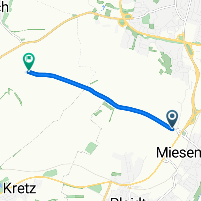
 Ochtendunger Straße 6A, Plaidt nach Burgstraße 8, Plaidt1
- 27.9 km
- 280 m
- 280 m
- Plaidt, Rhineland-Palatinate, Germany
 Koberner Weg 16, Plaidt nach Koberner Weg 18, Plaidt0
- 26.6 km
- 362 m
- 361 m
- Plaidt, Rhineland-Palatinate, Germany


