Cycling in Otterstadt
Discover a map of 288 cycling routes and bike trails near Otterstadt, created by our community.
Region portrait
Get to know Otterstadt
Find the right bike route for you through Otterstadt, where we've got 288 cycle routes to explore. Most people get on their bikes to ride here in the months of August and September.
16,274 km
Tracked distance
288
Cycle routes
3,282
Population
Community
Most active users in Otterstadt
From our community
The best bike routes in and around Otterstadt
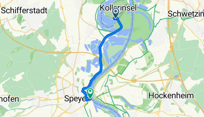
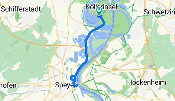
Camping Kollersee nach Speyer zum Alten Hammer
Cycling route in Otterstadt, Rhineland-Palatinate, Germany
- 10.2 km
- Distance
- 11 m
- Ascent
- 59 m
- Descent
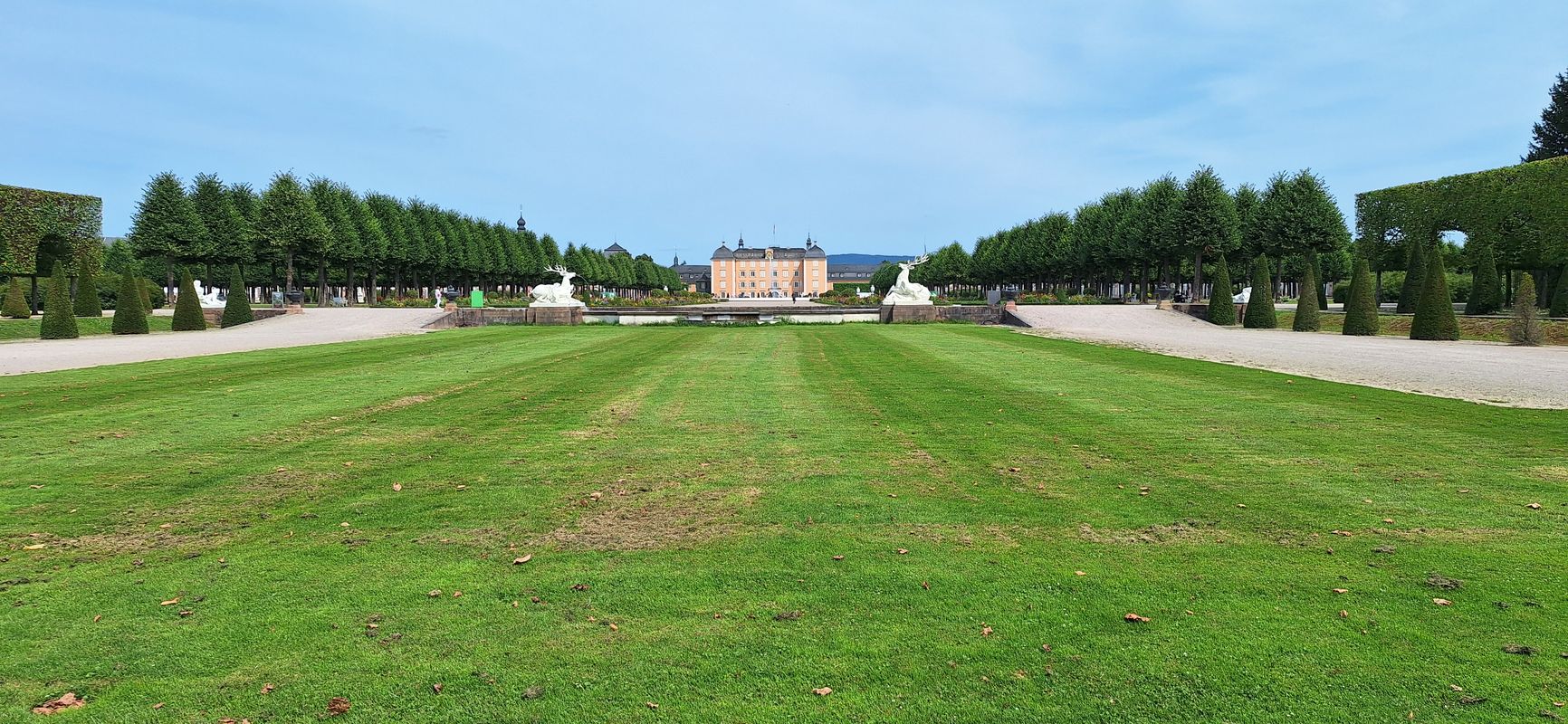
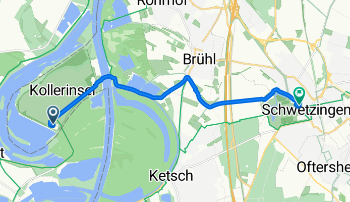
Camping Kollersee nach Schwetzingen Schlossgarten
Cycling route in Otterstadt, Rhineland-Palatinate, Germany
- 8.7 km
- Distance
- 20 m
- Ascent
- 67 m
- Descent
Camping Kollersee nach Camping Kollersee
Cycling route in Otterstadt, Rhineland-Palatinate, Germany
- 19.9 km
- Distance
- 39 m
- Ascent
- 83 m
- Descent
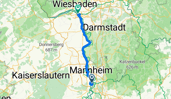
Nackenheim - Oberdiebach
Cycling route in Otterstadt, Rhineland-Palatinate, Germany
- 101.8 km
- Distance
- 256 m
- Ascent
- 266 m
- Descent
Discover more routes
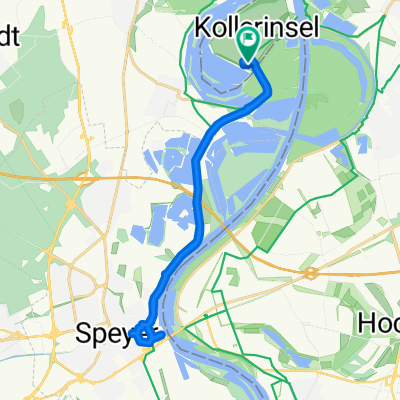 Camping Kollersee nach Camping Kollersee
- Distance
- 20.4 km
- Ascent
- 74 m
- Descent
- 123 m
- Location
- Otterstadt, Rhineland-Palatinate, Germany
 Umleitung_Otterstadt-Waldsee
- Distance
- 12.2 km
- Ascent
- 35 m
- Descent
- 32 m
- Location
- Otterstadt, Rhineland-Palatinate, Germany
 Rettich-Rhein-Tour
- Distance
- 36.1 km
- Ascent
- 56 m
- Descent
- 59 m
- Location
- Otterstadt, Rhineland-Palatinate, Germany
 Wachenheim Kalmit Modenbachtal Ramberg
- Distance
- 137.9 km
- Ascent
- 1,185 m
- Descent
- 1,183 m
- Location
- Otterstadt, Rhineland-Palatinate, Germany
 Stickelspitzer-Kraftwerks-Rundfahrt
- Distance
- 20.5 km
- Ascent
- 50 m
- Descent
- 54 m
- Location
- Otterstadt, Rhineland-Palatinate, Germany
 Rollerski- bzw. Inlinerroute am Rheindamm Otterstadt -> Altrip
- Distance
- 8.8 km
- Ascent
- 16 m
- Descent
- 16 m
- Location
- Otterstadt, Rhineland-Palatinate, Germany
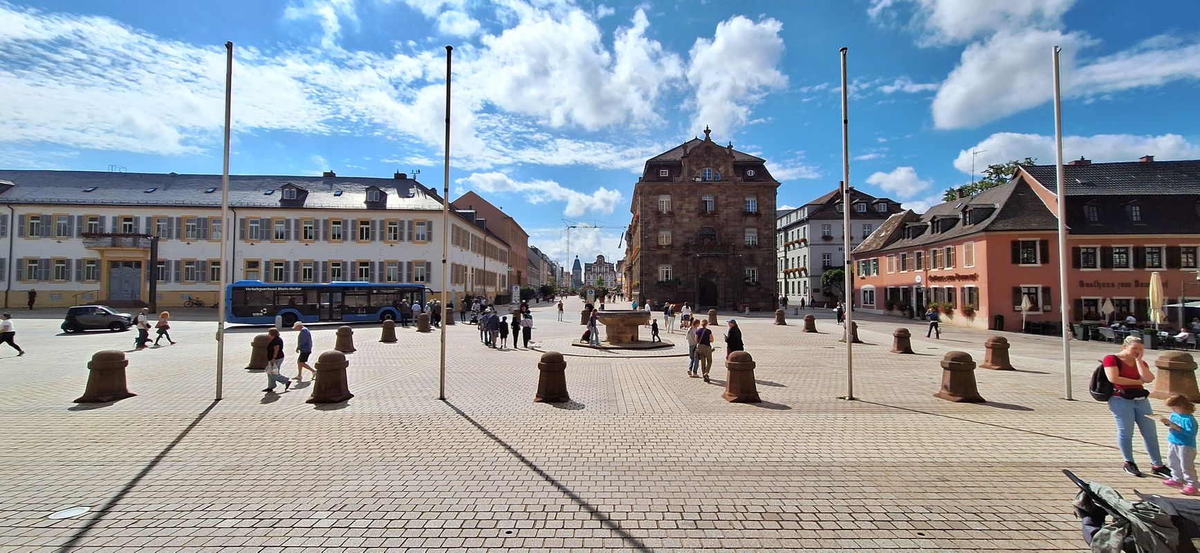
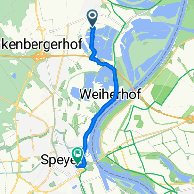 Speyer Domplatz
- Distance
- 7 km
- Ascent
- 13 m
- Descent
- 10 m
- Location
- Otterstadt, Rhineland-Palatinate, Germany
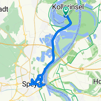 Camping Kollersee nach Camping Kollersee
- Distance
- 22.6 km
- Ascent
- 39 m
- Descent
- 91 m
- Location
- Otterstadt, Rhineland-Palatinate, Germany
Routes to Otterstadt
By bicycle from
Speyer to Otterstadt


