Cycling in Oberwolfach
Discover a map of 47 cycling routes and bike trails near Oberwolfach, created by our community.
Region portrait
Get to know Oberwolfach
Find the right bike route for you through Oberwolfach, where we've got 47 cycle routes to explore. Most people get on their bikes to ride here in the month of August.
2,618 km
Tracked distance
47
Cycle routes
2,758
Population
Community
Most active users in Oberwolfach
From our community
The best bike routes in and around Oberwolfach
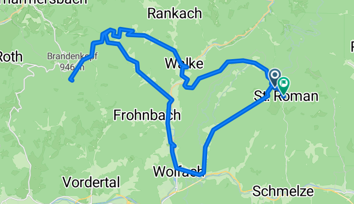
Sankt Roman nach Hansjakobweg
Cycling route in Oberwolfach, Baden-Wurttemberg, Germany
- 39 km
- Distance
- 1,271 m
- Ascent
- 1,311 m
- Descent
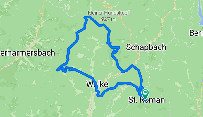
Gipfelstürmer
Cycling route in Oberwolfach, Baden-Wurttemberg, Germany
- 46.7 km
- Distance
- 1,247 m
- Ascent
- 1,247 m
- Descent
Hansjakobweg nach Hansjakobweg
Cycling route in Oberwolfach, Baden-Wurttemberg, Germany
- 38.6 km
- Distance
- 1,314 m
- Ascent
- 1,326 m
- Descent
Schömberrunde
Cycling route in Oberwolfach, Baden-Wurttemberg, Germany
- 65.4 km
- Distance
- 1,712 m
- Ascent
- 1,653 m
- Descent
Discover more routes
 Wolftal Tag 2 moderat
- Distance
- 53.7 km
- Ascent
- 794 m
- Descent
- 794 m
- Location
- Oberwolfach, Baden-Wurttemberg, Germany
 Wolftal Tag 1
- Distance
- 72.8 km
- Ascent
- 970 m
- Descent
- 991 m
- Location
- Oberwolfach, Baden-Wurttemberg, Germany
 BF24-06 Oberwolfach - Bad-Peterstal 72 KM
- Distance
- 71.8 km
- Ascent
- 1,620 m
- Descent
- 1,620 m
- Location
- Oberwolfach, Baden-Wurttemberg, Germany
 BF24-04 Oberwolfach - Sulz a. Neckar - 108 KM
- Distance
- 107.7 km
- Ascent
- 1,503 m
- Descent
- 1,502 m
- Location
- Oberwolfach, Baden-Wurttemberg, Germany
 BF24-07 Oberwolfach - Schramberg 83 KM
- Distance
- 83.1 km
- Ascent
- 1,699 m
- Descent
- 1,700 m
- Location
- Oberwolfach, Baden-Wurttemberg, Germany
 BF24-09 Oberwoldfach - Rohrhardsberg über Yach 104 KM
- Distance
- 103.8 km
- Ascent
- 2,307 m
- Descent
- 2,309 m
- Location
- Oberwolfach, Baden-Wurttemberg, Germany
 BF24-02 Oberwolfach - Schweighausen 83KM
- Distance
- 83.2 km
- Ascent
- 1,027 m
- Descent
- 1,029 m
- Location
- Oberwolfach, Baden-Wurttemberg, Germany
 BF24-03 Oberwolfach - Wilhelmshöhe 73 KM
- Distance
- 73.1 km
- Ascent
- 1,491 m
- Descent
- 1,495 m
- Location
- Oberwolfach, Baden-Wurttemberg, Germany


