
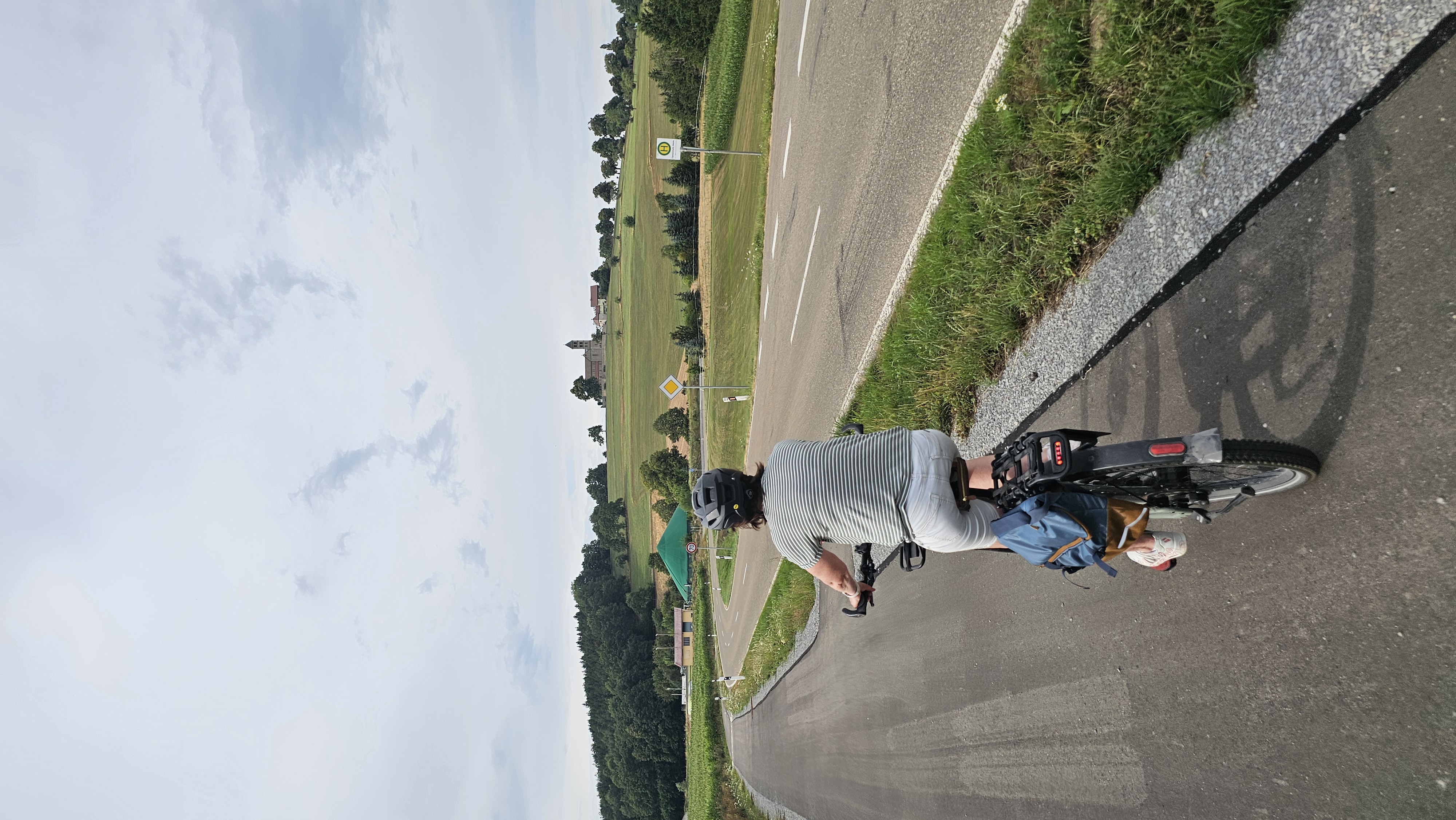
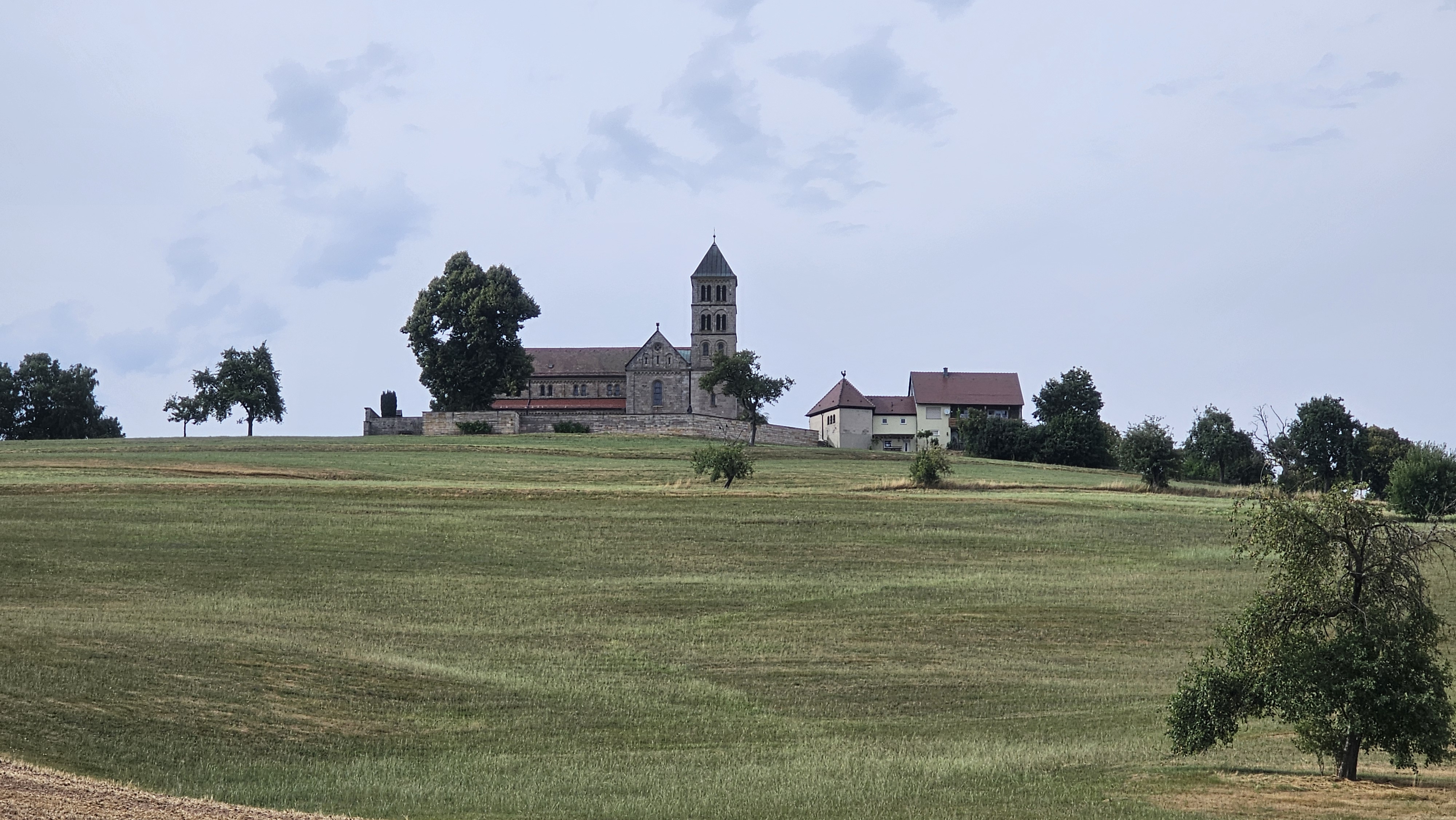
Cycling in Obersontheim
Discover a map of 74 cycling routes and bike trails near Obersontheim, created by our community.
Region portrait
Get to know Obersontheim
Find the right bike route for you through Obersontheim, where we've got 74 cycle routes to explore. Most people get on their bikes to ride here in the months of March and May.
3,553 km
Tracked distance
74
Cycle routes
4,810
Population
Community
Most active users in Obersontheim


From our community
The best bike routes in and around Obersontheim


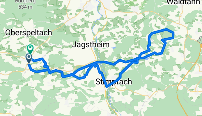
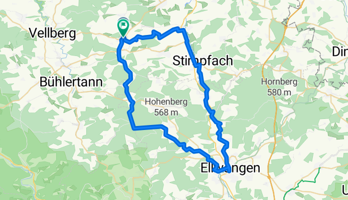
Salbeiweg 24, Obersontheim nach Salbeiweg 11, Obersontheim
Cycling route in Obersontheim, Baden-Wurttemberg, Germany
- 42.3 km
- Distance
- 443 m
- Ascent
- 441 m
- Descent


Gaildorfer Straße nach Veilchenweg
Cycling route in Obersontheim, Baden-Wurttemberg, Germany
- 42.4 km
- Distance
- 365 m
- Ascent
- 398 m
- Descent

Ausfahrt durch Frankenhardt
Cycling route in Obersontheim, Baden-Wurttemberg, Germany
- 29.4 km
- Distance
- 231 m
- Ascent
- 230 m
- Descent
Veilchenweg nach Im Bergfeld
Cycling route in Obersontheim, Baden-Wurttemberg, Germany
- 54.2 km
- Distance
- 438 m
- Ascent
- 490 m
- Descent
Discover more routes
 Haller Touren 12 - Vellberg
- Distance
- 46.5 km
- Ascent
- 608 m
- Descent
- 600 m
- Location
- Obersontheim, Baden-Wurttemberg, Germany
 Gaildorfer Straße nach Im Bergfeld
- Distance
- 38.4 km
- Ascent
- 347 m
- Descent
- 384 m
- Location
- Obersontheim, Baden-Wurttemberg, Germany
 Obersontheim - Altenberg - Obersontheim
- Distance
- 40 km
- Ascent
- 463 m
- Descent
- 463 m
- Location
- Obersontheim, Baden-Wurttemberg, Germany
 Fischachtal + Frankenhardter Wald
- Distance
- 57.7 km
- Ascent
- 584 m
- Descent
- 590 m
- Location
- Obersontheim, Baden-Wurttemberg, Germany
 Fischachtal + Frankenhardter Wald CLONED FROM ROUTE 189180
- Distance
- 57.7 km
- Ascent
- 423 m
- Descent
- 437 m
- Location
- Obersontheim, Baden-Wurttemberg, Germany
 Route 3
- Distance
- 31.1 km
- Ascent
- 235 m
- Descent
- 236 m
- Location
- Obersontheim, Baden-Wurttemberg, Germany
 Route 2
- Distance
- 45.2 km
- Ascent
- 455 m
- Descent
- 454 m
- Location
- Obersontheim, Baden-Wurttemberg, Germany
 Bühlerursprung
- Distance
- 54.5 km
- Ascent
- 451 m
- Descent
- 452 m
- Location
- Obersontheim, Baden-Wurttemberg, Germany