
Cycling in Narsdorf
Discover a map of 56 cycling routes and bike trails near Narsdorf, created by our community.
Region portrait
Get to know Narsdorf
Find the right bike route for you through Narsdorf, where we've got 56 cycle routes to explore. Most people get on their bikes to ride here in the month of May.
2,599 km
Tracked distance
56
Cycle routes
1,917
Population
Community
Most active users in Narsdorf


From our community
The best bike routes in and around Narsdorf

rund um talsperre kriebstein
Cycling route in Narsdorf, Saxony, Germany
- 74.7 km
- Distance
- 605 m
- Ascent
- 608 m
- Descent

Narsdorf > Kohren-Sahlis>Geithain> Narsdorf
Cycling route in Narsdorf, Saxony, Germany
- 33.1 km
- Distance
- 219 m
- Ascent
- 216 m
- Descent


Narsdorf Geithain (Hin und Rück)
Cycling route in Narsdorf, Saxony, Germany
- 6 km
- Distance
- 25 m
- Ascent
- 42 m
- Descent
Discover more routes
 Narsdorf-Panitzsch
- Distance
- 50.9 km
- Ascent
- 79 m
- Descent
- 225 m
- Location
- Narsdorf, Saxony, Germany
 11-01-22 Narsdorf Borna Windischleuba
- Distance
- 68.5 km
- Ascent
- 251 m
- Descent
- 248 m
- Location
- Narsdorf, Saxony, Germany
 Narsdorf - Wechselburg - Rochlitz - Geithain-(Sommerhof) - Narsdorf
- Distance
- 31.2 km
- Ascent
- 255 m
- Descent
- 256 m
- Location
- Narsdorf, Saxony, Germany
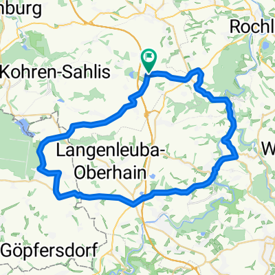 rund um obergäfenhain
- Distance
- 40.7 km
- Ascent
- 279 m
- Descent
- 303 m
- Location
- Narsdorf, Saxony, Germany
 Ins Chemnitztal
- Distance
- 45.5 km
- Ascent
- 410 m
- Descent
- 408 m
- Location
- Narsdorf, Saxony, Germany
 durchs muldental und königsfelder land
- Distance
- 67.1 km
- Ascent
- 661 m
- Descent
- 671 m
- Location
- Narsdorf, Saxony, Germany
 himmelfahrtstour zur augustusburg
- Distance
- 105.3 km
- Ascent
- 853 m
- Descent
- 851 m
- Location
- Narsdorf, Saxony, Germany
 muldental und rochlitzerberg
- Distance
- 61.4 km
- Ascent
- 530 m
- Descent
- 526 m
- Location
- Narsdorf, Saxony, Germany