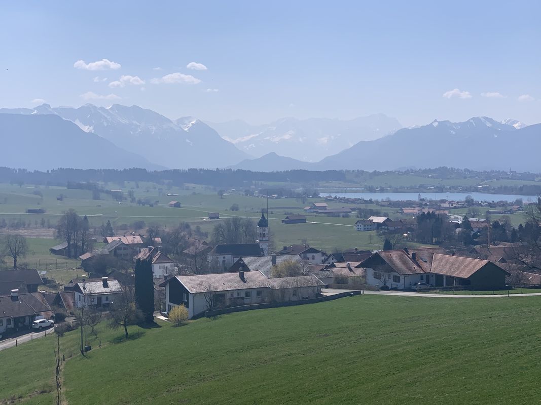
Cycling in Murnau am Staffelsee
Discover a map of 576 cycling routes and bike trails near Murnau am Staffelsee, created by our community.
Region portrait
Get to know Murnau am Staffelsee
Find the right bike route for you through Murnau am Staffelsee, where we've got 576 cycle routes to explore. Most people get on their bikes to ride here in the months of July and August.
44,321 km
Tracked distance
576
Cycle routes
11,958
Population
Community
Most active users in Murnau am Staffelsee
Handpicked routes
Discover Murnau am Staffelsee through these collections
Tour
From our community
The best bike routes in and around Murnau am Staffelsee
Osterseenrunde
Cycling route in Murnau am Staffelsee, Bavaria, Germany
- 43 km
- Distance
- 354 m
- Ascent
- 354 m
- Descent
Kleine Murnaurunde
Cycling route in Murnau am Staffelsee, Bavaria, Germany
- 68.5 km
- Distance
- 348 m
- Ascent
- 340 m
- Descent
Staffelsee-Runde
Cycling route in Murnau am Staffelsee, Bavaria, Germany
- 44.3 km
- Distance
- 399 m
- Ascent
- 399 m
- Descent
Staffelsee und Riegsee
Cycling route in Murnau am Staffelsee, Bavaria, Germany
- 29.4 km
- Distance
- 225 m
- Ascent
- 222 m
- Descent
Discover more routes
 Murnau-Eschenlohe
- Distance
- 62.6 km
- Ascent
- 636 m
- Descent
- 637 m
- Location
- Murnau am Staffelsee, Bavaria, Germany
 Murnauer Moos
- Distance
- 25.5 km
- Ascent
- 140 m
- Descent
- 141 m
- Location
- Murnau am Staffelsee, Bavaria, Germany
 Ohlstadt, rund um Herzogstand, Walchensee,Eschelainethal
- Distance
- 60.1 km
- Ascent
- 929 m
- Descent
- 929 m
- Location
- Murnau am Staffelsee, Bavaria, Germany
 Murnau-Bad Bayersoin-Riegsee
- Distance
- 56 km
- Ascent
- 488 m
- Descent
- 488 m
- Location
- Murnau am Staffelsee, Bavaria, Germany
 Ammertal Runde (Alex Variante)
- Distance
- 64.5 km
- Ascent
- 1,793 m
- Descent
- 1,784 m
- Location
- Murnau am Staffelsee, Bavaria, Germany
 Murnau - Oberammergau - Kloster Ettal
- Distance
- 56.6 km
- Ascent
- 429 m
- Descent
- 429 m
- Location
- Murnau am Staffelsee, Bavaria, Germany
 Murnau-ums-Hörndl
- Distance
- 51.5 km
- Ascent
- 894 m
- Descent
- 891 m
- Location
- Murnau am Staffelsee, Bavaria, Germany
 Riegseerunde
- Distance
- 15.7 km
- Ascent
- 179 m
- Descent
- 186 m
- Location
- Murnau am Staffelsee, Bavaria, Germany


