


- 65 km
- 632 m
- 628 m
- Valley, Bavaria, Germany

Cycling in Munich
Discover a map of 17,121 cycling routes and bike trails near Munich, created by our community.
Region portrait
Get to know Munich
Find the right bike route for you through Munich, where we've got 17,121 cycle routes to explore. Most people get on their bikes to ride here in the months of June and July.
1,558,427 km
Tracked distance
17,121
Cycle routes
1.3 million
Population
Community
Most active users in Munich
Handpicked routes
Discover Munich through these collections
From our community
The best bike routes in and around Munich


Theresienhöhe, Munich to Ridlerstraße, Munich
Cycling route in Munich, Bavaria, Germany
- 1.3 km
- Distance
- 3 m
- Ascent
- 4 m
- Descent
Italy 2026 (Draft1)
Cycling route in Munich, Bavaria, Germany
- 1,918.1 km
- Distance
- 32,682 m
- Ascent
- 32,964 m
- Descent
E1-Von München bis Schliersee
Cycling route in Munich, Bavaria, Germany
- 72.7 km
- Distance
- 1,205 m
- Ascent
- 608 m
- Descent
From our editors
Top cycle routes in and around Munich

Stunning scenery
Mangfall Cycle Path
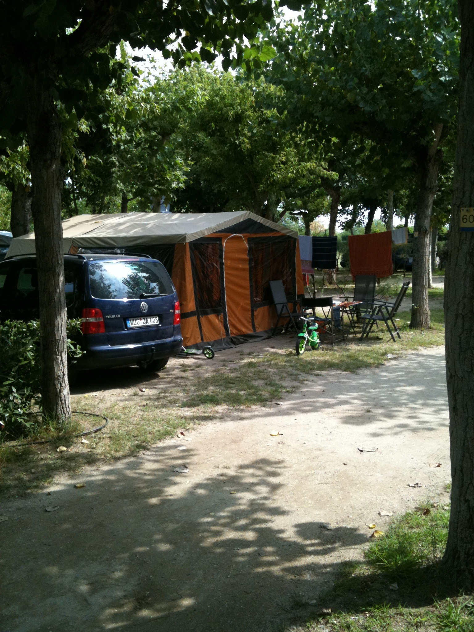
The Mangfall cycle path is a 60 kilometers (37 miles) long route out of Munich with incredible scenery. Get ready to be wowed at Dürrnhaar, where the most picturesque stretch takes you through the meadows and forests of Mangfall valley and finishes in Rosenheim, a charming old town. Along the Mangfall River the gravel roads are mostly flat and easy to ride - this really is a perfect day out for the whole family.
- Tour über Falkenberg, Sempt-Mangfall-Radweg, München-Mangfall-Radweg
- 81.5 km
- 402 m
- 400 m
- Vaterstetten, Bavaria, Germany


Around the city by bike
Cycling ring Munich
The route circles the surrounding area of the city, can be joined at any point and is easily reached by metro and train services from Munich. Dachau to Ismaning might be considered a castle tour, Ismaning to Haar takes you past two wonderful lakes ideal for swimming. The southern stretch from Neubiberg to Gauting is characterized by streams and the landscape park Hachinger Tal, and Germering to Olching follows in the footsteps of the Romans - there are museums and archaeological finds on the way - and takes you up Germannsberg for a wonderful view of the valley below. Each stretch is 25 - 38 kilometers (15 - 23 miles) long and offers plenty of opportunities to stop for a bite to eat or a dose of culture and history.
Featured routes around Radlring Munich


Up or down the river
Isar Cycle Path
Munich lies about halfway between the source and the mouth of the River Isar, so the Isar Cycle Path can be followed for about 150 kilometers (90 miles) in either direction. As it runs along the river, it is mostly flat and passes pretty towns, historical castles, and idyllic nature reserves. Other attractions on the Isar cycle path include the towns of Landshut and Bad Tölz and the lakes Walchensee and Sylvensteinsee. At Deggendorf, the River Isar flows into the Danube, where you can connect to the long-distance cycle routes.
Featured routes around Isar Cycle Path


The local lake
Lake Starnberg
Only have a day to get an impression? With its proximity to Munich and Alpine peaks in the distance, Lake Starnberg is the perfect destination and can be reached by metro or train from the city center. Then follow the bike path circling the lake - it is a distance of about 50 kilometers (30 miles). Don't miss out on the promenade in Starnberg, the idyllic palace of Empress Sissi in Possenhofen and the memorial cross for King Ludwig II, whose 1886 death in the lake is still shrouded in mystery.
Featured routes around Lake Starnberg


Trail to Tegernsee
M Water Route
The M-Wasserweg (M-waterway) is a themed bike trail to Lake Tegernsee. On its 68 kilometers (42 miles), it passes various significant stations connected to the drinking water supplies of Munich - and signs along the way explain the journey of the water into the city. The hilly route can be a bit of a challenge even without the optional detour to the top of nearby Taubenberg. For mountains, a stunning lake destination and a mostly traffic-free route, look no further than the M-Wasserweg to the South of Munich.


Discover more routes
- Kleindingharting I.
- 61.4 km
- 306 m
- 306 m
- Munich, Bavaria, Germany
- München - Starnberg
- 40.9 km
- 385 m
- 314 m
- Munich, Bavaria, Germany
- From Munich to Budapest
- 1,133.2 km
- 8,920 m
- 9,318 m
- Munich, Bavaria, Germany
- München - Rosenheim
- 60.8 km
- 296 m
- 375 m
- Munich, Bavaria, Germany
- 1°- Monaco di Baviera - Saulgrub
- 90.7 km
- 1,103 m
- 799 m
- Munich, Bavaria, Germany
- Orffstr-LS-DA-OSL-Garching
- 52.6 km
- 73 m
- 111 m
- Munich, Bavaria, Germany
- Von München bis Rosenheim
- 67.8 km
- 328 m
- 405 m
- Munich, Bavaria, Germany
- München Dietramszell-Pupplinger Au
- 75.5 km
- 343 m
- 343 m
- Munich, Bavaria, Germany


Routes from Munich
Bikepacking from
Munich to Achenkirch
Bikepacking from
Munich to Innsbruck
Cycling day trip from
Munich to Garmisch-Partenkirchen
Cycling day trip from
Munich to Schäftlarn
By bicycle from
Munich to Haar
By bicycle from
Munich to Pullach im Isartal
Routes to Munich
Cycling day trip from
Dachau to Munich
Cycling day trip from
Bad Tölz to Munich
By bicycle from
Neubiberg to Munich
By bicycle from
Neuried to Munich