
Cycling in Michelau
Discover a map of 42 cycling routes and bike trails near Michelau, created by our community.
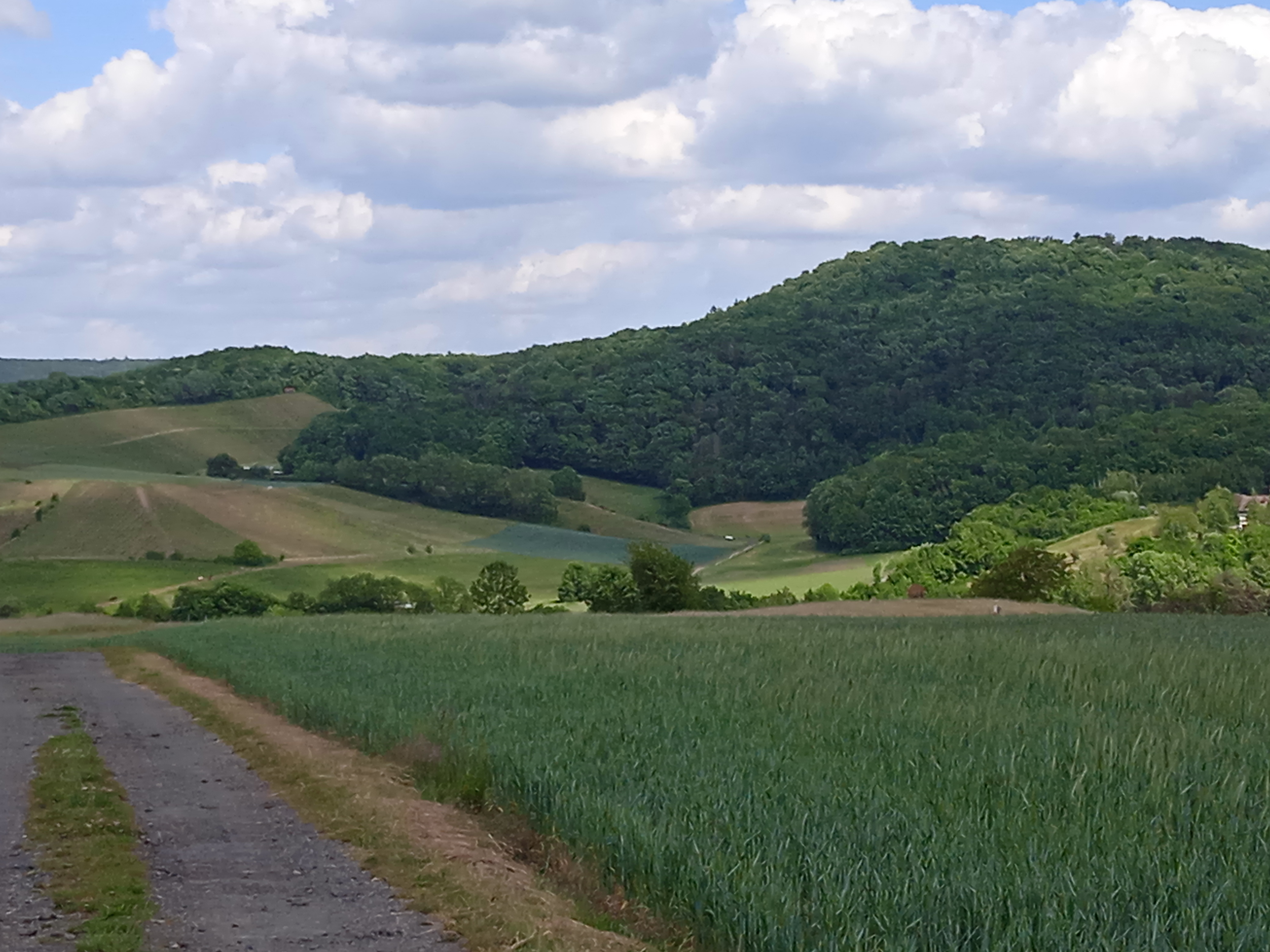
Region portrait
Get to know Michelau
Find the right bike route for you through Michelau, where we've got 42 cycle routes to explore. Most people get on their bikes to ride here in the month of August.
1,511 km
Tracked distance
42
Cycle routes
1,147
Population
Community
Most active users in Michelau


From our community
The best bike routes in and around Michelau

Hundelshausen, Ebrach und Zurück
Cycling route in Michelau, Bavaria, Germany
Teilweise Straße, da kein Radweg. Mit MTB. Im Wald wunderschön.
- 29.3 km
- Distance
- 454 m
- Ascent
- 454 m
- Descent

Haßfurt - Gerolzhofen - Ebrach - Ebelsbach und zurück
Cycling route in Michelau, Bavaria, Germany
- 114.9 km
- Distance
- 748 m
- Ascent
- 763 m
- Descent


Ausfahrt zum Zabelstein
Cycling route in Michelau, Bavaria, Germany
- 12.8 km
- Distance
- 304 m
- Ascent
- 293 m
- Descent

Geusfeld- Schlangenweg- Neuhaus- Zabelstein
Cycling route in Michelau, Bavaria, Germany
Die Route führt zum Schlangenweg bzw. durch den Schlangenweg nach Zell. Zurück gehts zunächst ein Stück den Böhlgrund hinauf, dann folgt ein Abstecher in Neuhaus. Und zum Abschluss besuchen wir noch den Zabelstein den wir über den Gangolfsbeg erreichen. Zurück in Geusfeld haben wir ca 38 km zurückgelegt und ca. 1100 hm überwunden. je nachdem wie man die Tour genießen will oder auch nicht sollte man etwa 3 Std veranschlagen.
(cloned from route 2304653)
- 36.5 km
- Distance
- 495 m
- Ascent
- 494 m
- Descent
Discover more routes
 U'steinbach-Heinachshof-Weilersbachtal
- Distance
- 26.3 km
- Ascent
- 316 m
- Descent
- 318 m
- Location
- Michelau, Bavaria, Germany
 Forsthaus-Route
- Distance
- 30.6 km
- Ascent
- 451 m
- Descent
- 451 m
- Location
- Michelau, Bavaria, Germany
 Geusfeld Volkach Würzburg und zurück
- Distance
- 100.4 km
- Ascent
- 433 m
- Descent
- 433 m
- Location
- Michelau, Bavaria, Germany
 D_Bayern_Neuhausen-Heinachshof-Zabelstein-Falkenstein-Geusfelderweg-(MichelauImSteigerwald)_RR-18km-400hm
- Distance
- 18.1 km
- Ascent
- 406 m
- Descent
- 396 m
- Location
- Michelau, Bavaria, Germany
 von Geusfeld zum Schlangenweg und zurück
- Distance
- 35 km
- Ascent
- 557 m
- Descent
- 546 m
- Location
- Michelau, Bavaria, Germany
 Bikepacking Steigerwald 2
- Distance
- 109 km
- Ascent
- 1,176 m
- Descent
- 976 m
- Location
- Michelau, Bavaria, Germany
 Route von Dorfstraße 12, Rauhenebrach
- Distance
- 84.6 km
- Ascent
- 1,157 m
- Descent
- 658 m
- Location
- Michelau, Bavaria, Germany
 Kleine Runde am 1. Mai
- Distance
- 14 km
- Ascent
- 276 m
- Descent
- 274 m
- Location
- Michelau, Bavaria, Germany