Cycling in Lam
Discover a map of 104 cycling routes and bike trails near Lam, created by our community.
Region portrait
Get to know Lam
Find the right bike route for you through Lam, where we've got 104 cycle routes to explore. Most people get on their bikes to ride here in the months of July and August.
3,708 km
Tracked distance
104
Cycle routes
2,884
Population
From our community
The best bike routes in and around Lam
2015 Lamer Winkel zum Kleinen Arbersee
Cycling route in Lam, Bavaria, Germany
- 22.3 km
- Distance
- 489 m
- Ascent
- 491 m
- Descent
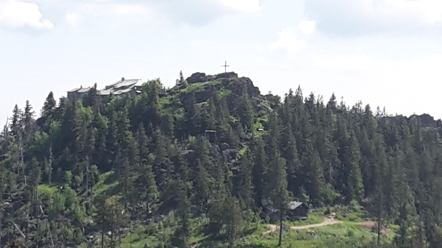
von Lam zum Berghaus Sonnenfels am Arber
Cycling route in Lam, Bavaria, Germany
- 16.3 km
- Distance
- 795 m
- Ascent
- 214 m
- Descent
Discover more routes
 Lam - Engelshütt - Nyrsko (CZ) - Spicak-Sattel (CZ) - Zelezna Ruda (CZ) - Brennes - Lam
- Distance
- 73.8 km
- Ascent
- 1,331 m
- Descent
- 1,330 m
- Location
- Lam, Bavaria, Germany
 Lam - Eck - Arnbruck - Viechtach - St. Engelmar - Kasparzell - Zandt - Bad Kötzing - Hohenwarth - Schmelz - Lam
- Distance
- 118.7 km
- Ascent
- 1,938 m
- Descent
- 1,938 m
- Location
- Lam, Bavaria, Germany
 Berg und Tal Tour
- Distance
- 104.9 km
- Ascent
- 1,374 m
- Descent
- 1,624 m
- Location
- Lam, Bavaria, Germany
 Lam - Brennes - Bay. Eisenstein - Zelezna Ruda - Spicak - Stausee(v.nNyrsko) - Nyrsko - Lam
- Distance
- 69.9 km
- Ascent
- 1,163 m
- Descent
- 1,163 m
- Location
- Lam, Bavaria, Germany
 Himmelfahrt 2016 / Tag 1 / Lam - Haidmühle
- Distance
- 110.4 km
- Ascent
- 1,702 m
- Descent
- 1,404 m
- Location
- Lam, Bavaria, Germany
 Aubachweg 5, Lohberg nach Aubachweg 2, Lohberg
- Distance
- 13.3 km
- Ascent
- 730 m
- Descent
- 760 m
- Location
- Lam, Bavaria, Germany
 Wanderung Osser
- Distance
- 4.6 km
- Ascent
- 629 m
- Descent
- 36 m
- Location
- Lam, Bavaria, Germany
 Mittelweg 4, Lam nach Stadtplatz 42, Zwiesel
- Distance
- 33.2 km
- Ascent
- 775 m
- Descent
- 779 m
- Location
- Lam, Bavaria, Germany


