
Cycling in Kirchlinteln
Discover a map of 110 cycling routes and bike trails near Kirchlinteln, created by our community.
Region portrait
Get to know Kirchlinteln
Find the right bike route for you through Kirchlinteln, where we've got 110 cycle routes to explore. Most people get on their bikes to ride here in the months of July and August.
3,616 km
Tracked distance
110
Cycle routes
10,487
Population
Community
Most active users in Kirchlinteln


From our community
The best bike routes in and around Kirchlinteln

Kirchlinteln-Lindhoop
Cycling route in Kirchlinteln, Lower Saxony, Germany
- 17.1 km
- Distance
- 113 m
- Ascent
- 116 m
- Descent

Kirchlinteln - Gut Stellichte
Cycling route in Kirchlinteln, Lower Saxony, Germany
- 15.4 km
- Distance
- 98 m
- Ascent
- 95 m
- Descent

Rundfahrt Kirchlinteln Bendingbostel
Cycling route in Kirchlinteln, Lower Saxony, Germany
- 34.3 km
- Distance
- 114 m
- Ascent
- 111 m
- Descent

Verden Walle - Weserstadion Bremen Ambiente
Cycling route in Kirchlinteln, Lower Saxony, Germany
- 43.1 km
- Distance
- 53 m
- Ascent
- 92 m
- Descent
Discover more routes
 Heitmanns Kreepen Ost umzu
- Distance
- 38.3 km
- Ascent
- 109 m
- Descent
- 99 m
- Location
- Kirchlinteln, Lower Saxony, Germany
 1111111
- Distance
- 17.4 km
- Ascent
- 113 m
- Descent
- 113 m
- Location
- Kirchlinteln, Lower Saxony, Germany
 Wallle - Baden - Dauelsen
- Distance
- 36.6 km
- Ascent
- 47 m
- Descent
- 76 m
- Location
- Kirchlinteln, Lower Saxony, Germany
 Walle - Cluvenhagen - Waldspiele
- Distance
- 36.7 km
- Ascent
- 115 m
- Descent
- 134 m
- Location
- Kirchlinteln, Lower Saxony, Germany
 Kirchlinteln-Süderw-Idsingen
- Distance
- 44.5 km
- Ascent
- 46 m
- Descent
- 59 m
- Location
- Kirchlinteln, Lower Saxony, Germany
 Freudenthalweg
- Distance
- 182.3 km
- Ascent
- 377 m
- Descent
- 343 m
- Location
- Kirchlinteln, Lower Saxony, Germany
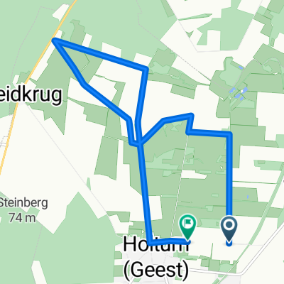 AmHoltumerMoor
- Distance
- 8.3 km
- Ascent
- 24 m
- Descent
- 18 m
- Location
- Kirchlinteln, Lower Saxony, Germany
 LindhoopDenk
- Distance
- 8.3 km
- Ascent
- 65 m
- Descent
- 63 m
- Location
- Kirchlinteln, Lower Saxony, Germany